


8,3 km | 15,6 km-effort
Silvareccio : découvrez les meilleures randonnées : 4 pédestres. Tous ces circuits, parcours, itinéraires et activités en plein air sont disponibles dans nos applications SityTrail pour smartphones et tablettes.
Marche


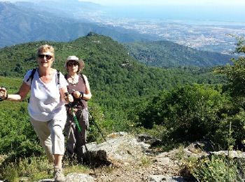
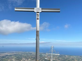
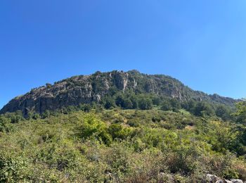
• Montée au Monte Sant'Angelo en partant de Silvareccio
 7.315
7.315
sport
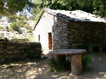
• Ballade digestive
Marche
• Très joli point de vue, montée à couvert pendant 1h30. Très recommandable.
Marche

Marche
• Montée au San Angelu au départ de Silvareccio
5 randonnées affichées sur 5
Application GPS de randonnée GRATUITE
 SityTrail
IGN / Instituts géographiques
SityTrail World
Le monde est à vous