


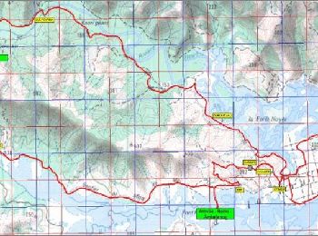
26 km | 38 km-effort
Yaté : découvrez les meilleures randonnées : 4 pédestres et 1 à vélo ou VTT. Tous ces circuits, parcours, itinéraires et activités en plein air sont disponibles dans nos applications SityTrail pour smartphones et tablettes.
A pied


• Autorisation de Ludovic FRIT

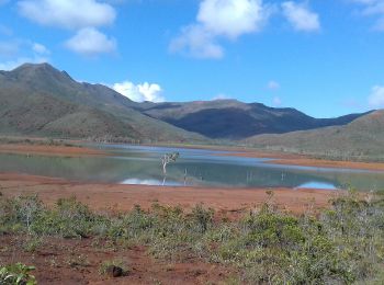
Marche
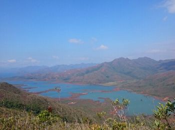
Marche
• Difficile par la distance mais pas de grosses montées
V.T.T.
• Raid VTT du sud 27km (Course la Pérignon )

Marche
5 randonnées affichées sur 5
Application GPS de randonnée GRATUITE
 SityTrail
IGN / Instituts géographiques
SityTrail World
Le monde est à vous