


12,8 km | 14,1 km-effort
Aureilhan : découvrez les meilleures randonnées : 11 pédestres et 4 à vélo ou VTT. Tous ces circuits, parcours, itinéraires et activités en plein air sont disponibles dans nos applications SityTrail pour smartphones et tablettes.
Marche


Course à pied
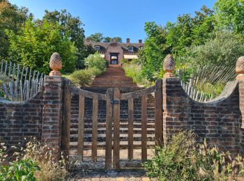
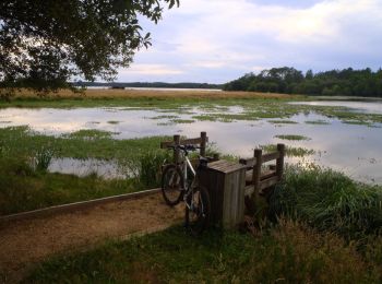
• Agréable circuit en boucle (à parcourir plutôt à VTT) qui chemine le long du Courant des Forges et du Lac d'Aureilhan.
A pied
V.T.T.
• Jolie balade qui nous mène de Biscarosse à Parentis. Évolution facile. La seule partie sablonneuse peut se trouver en...

V.T.T.
• Agréable circuit en boucle (à parcourir plutôt à VTT) qui chemine le long du Courant des Forges et du Lac d'Aureilhan.
Marche
• Agréable circuit en boucle (à parcourir plutôt à VTT) qui chemine le long du Courant des Forges et du Lac d'Aureilhan.
Marche
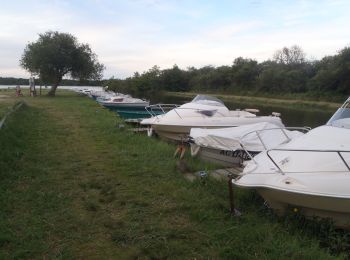
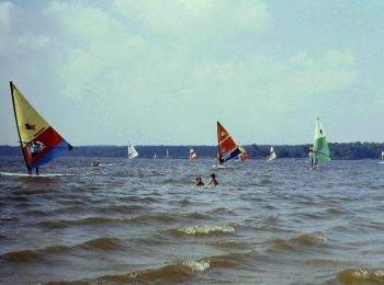
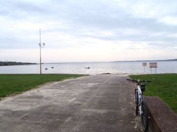
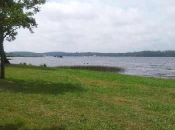
• Promenade le long du lac d'Aureillan. possibilité de baignade et nombreux coins repas.

Marche
• Facile
Marche
• Le tour du lac
Marche

Autre activité
• Promenade autour d'une partie du lac d'Aureilhans pour aller à la promenade fleurie.

V.T.T.
Marche
Marche

 13.518
sport
V.T.C.
Marche
17 randonnées affichées sur 17
Application GPS de randonnée GRATUITE
 SityTrail
IGN / Instituts géographiques
SityTrail World
Le monde est à vous