


38 km | 49 km-effort
Peyrat-le-Château : découvrez les meilleures randonnées : 15 pédestres et 3 à vélo ou VTT. Tous ces circuits, parcours, itinéraires et activités en plein air sont disponibles dans nos applications SityTrail pour smartphones et tablettes.

Marche


 32.116
sport
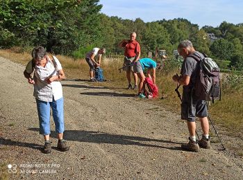
Marche
Marche
• ne pas oublier l'appareil photo
Marche
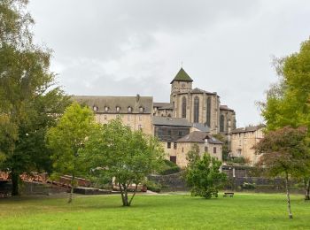
• La voie de Rocamadour
Marche
•

V.T.T.
• Tour du lac de Vassiviere

Course à pied
•

Moto-cross
Moto-cross
Moto
Moto
Vélo de route
Marche
Marche

Quad
Quad
Marche
Marche
Moto-cross
20 randonnées affichées sur 26
Application GPS de randonnée GRATUITE
 SityTrail
IGN / Instituts géographiques
SityTrail World
Le monde est à vous