


5,6 km | 7,8 km-effort
Tonneins : découvrez les meilleures randonnées : 14 pédestres et 2 à vélo ou VTT. Tous ces circuits, parcours, itinéraires et activités en plein air sont disponibles dans nos applications SityTrail pour smartphones et tablettes.
Marche


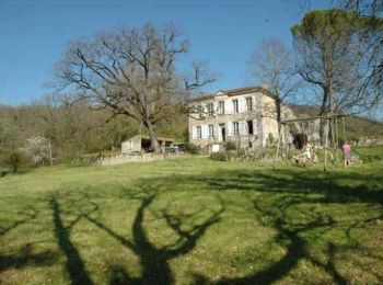
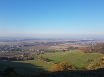
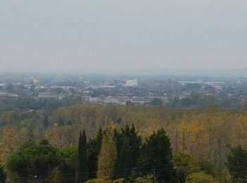
• Unet, commune de Tonneins Cté de Communes Val de Garonne. Cette randonnée au faible kilométrage offre de beaux points...
Marche
V.T.T.
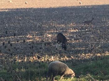
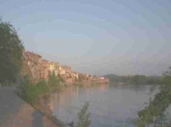
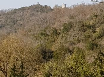
• Tonneins -Communauté de Communes Val de Garonne. Les passerelles et berges de Garonne ne sont pas accessibles aux cav...

Marche
• Tonneins -Communauté de Communes Val de Garonne. Les passerelles et berges de Garonne ne sont pas accessibles aux cav...

V.T.T.
• Unet, commune de Tonneins Cté de Communes Val de Garonne. Cette randonnée au faible kilométrage offre de beaux points...
Marche
Marche
Marche

Marche
• fa
Marche

A pied
Marche
Marche
Marche
Marche
Marche
16 randonnées affichées sur 16
Application GPS de randonnée GRATUITE
 SityTrail
IGN / Instituts géographiques
SityTrail World
Le monde est à vous