


17,1 km | 20 km-effort
Sos : découvrez les meilleures randonnées : 18 pédestres, 4 à vélo ou VTT et 3 parcours équestres. Tous ces circuits, parcours, itinéraires et activités en plein air sont disponibles dans nos applications SityTrail pour smartphones et tablettes.
A pied


• Randonnée créée par CDT47.
Raquettes à neige
• 2 circuits raquettes et rando
Cheval
• Cette verte vallée étroite et encaissée recèle des trésors de surprises: des cités à la personnalité affirmée, une vé...
V.T.T.
• Cette verte vallée étroite et encaissée recèle des trésors de surprises: des cités à la personnalité affirmée, une vé...

Marche
• Cette verte vallée étroite et encaissée recèle des trésors de surprises: des cités à la personnalité affirmée, une vé...

A pied
• Randonnée créée par CDT47.
A pied
• Randonnée créée par CDT47.
A pied
• Randonnée créée par CDT47.

Cheval
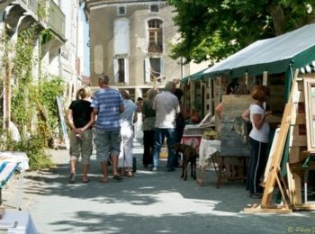
• Sos Communauté de Communes du Mézinais. Sos évoque une calme bourgade de campagne prospère. Petites rues aux façades ...

V.T.T.
• Sos Communauté de Communes du Mézinais. Sos évoque une calme bourgade de campagne prospère. Petites rues aux façades ...
Marche
• Sos Communauté de Communes du Mézinais. Sos évoque une calme bourgade de campagne prospère. Petites rues aux façades ...
V.T.T.
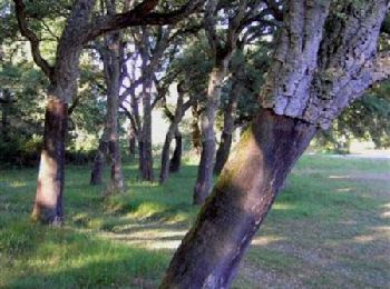
• Meylan commune de Sos Cté de Communes du Mézinais. Sur ce petit circuit contrasté vous découvrirez d’abord le sable d...

Marche
• Meylan commune de Sos Cté de Communes du Mézinais. Sur ce petit circuit contrasté vous découvrirez d’abord le sable d...

Cheval
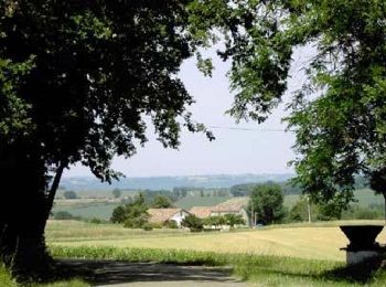
• Gueyze / Meylan Communauté de Communes du Mézinais. Le sable des Landes et l’argile des vallées, la forêt cultivée de...

V.T.T.
• Gueyze / Meylan Communauté de Communes du Mézinais. Le sable des Landes et l’argile des vallées, la forêt cultivée de...
Marche
• Gueyze / Meylan Communauté de Communes du Mézinais. Le sable des Landes et l’argile des vallées, la forêt cultivée de...

Marche
• bois et champs
Marche nordique
• rando
A pied
• sentier difficile en dévers sur les premiers 500m puis chemin soit de terre soit empierre dans les terres et dans les...
Marche
• sentier difficile en dévers sur les premiers 500m puis chemin soit de terre soit empierre dans les terres et dans les...
20 randonnées affichées sur 25
Application GPS de randonnée GRATUITE
 SityTrail
IGN / Instituts géographiques
SityTrail World
Le monde est à vous