


86 km | 103 km-effort
Casteljaloux : découvrez les meilleures randonnées : 4 pédestres et 4 à vélo ou VTT. Tous ces circuits, parcours, itinéraires et activités en plein air sont disponibles dans nos applications SityTrail pour smartphones et tablettes.
Vélo


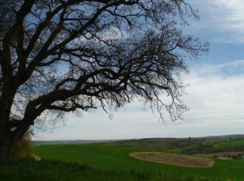
• Circuit des Cadets de Gascogne Casteljaloux, porte de la forêt des Landes de Gascogne, est un départ de choix pour ce...

V.T.T.
• Casteljaloux / le Lanin Cté Com. Coteaux et Landes de Gascogne. Cet itinéraire vous emmènera de la ville d’eau, sur l...
Marche
• Casteljaloux / le Lanin Cté Com. Coteaux et Landes de Gascogne. Cet itinéraire vous emmènera de la ville d’eau, sur l...

V.T.T.
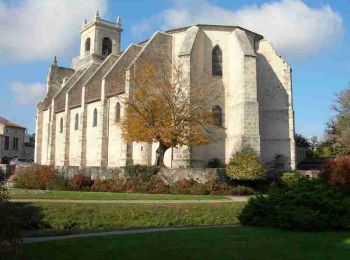
• Casteljaloux / la Forge. Au fil des rues étroites bordées de maisons à pans de bois, revit l’histoire de jeunes perso...
Marche
• Casteljaloux / la Forge. Au fil des rues étroites bordées de maisons à pans de bois, revit l’histoire de jeunes perso...

4x4
• girolles

Marche
Marche

Vélo
9 randonnées affichées sur 9
Application GPS de randonnée GRATUITE
 SityTrail
IGN / Instituts géographiques
SityTrail World
Le monde est à vous