


6,2 km | 7,6 km-effort
Soumensac : découvrez les meilleures randonnées : 8 pédestres, 2 à vélo ou VTT et 2 parcours équestres. Tous ces circuits, parcours, itinéraires et activités en plein air sont disponibles dans nos applications SityTrail pour smartphones et tablettes.
Marche


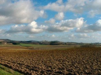
• Au départ, il y a des bois et des prairies avec des Blondes d’Aquitaine. Dans la montée apparaissent les vignobles de...
Marche
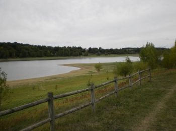
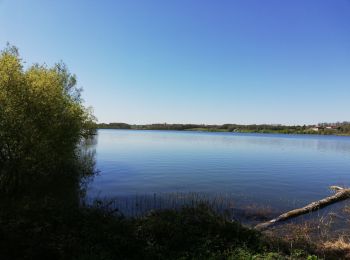
• Lac de l’Escourroux commune de Soumensac C. C. Pays de Duras. Circuit réservé aux piétons. Limitrophe de deux départe...

Cheval
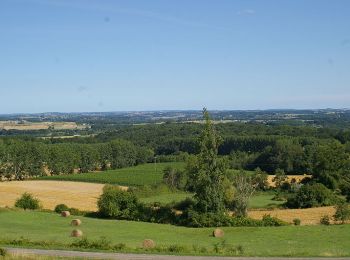
• Soumensac / Forêt de Marsalou Cté Com. du Pays de Duras. Du promontoire de Soumensac, cette boucle descend d’abord ve...

V.T.T.
• Soumensac / Forêt de Marsalou Cté Com. du Pays de Duras. Du promontoire de Soumensac, cette boucle descend d’abord ve...
Marche
• Soumensac / Forêt de Marsalou Cté Com. du Pays de Duras. Du promontoire de Soumensac, cette boucle descend d’abord ve...
Cheval
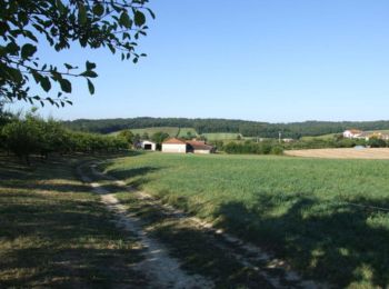
• Soumensac / Saint Jean / Pardaillan Cté Com. du Pays de Duras. Au départ du village promontoire de Soumensac, ce circ...

V.T.T.
• Soumensac / Saint Jean / Pardaillan Cté Com. du Pays de Duras. Au départ du village promontoire de Soumensac, ce circ...

Marche
• Soumensac / Saint Jean / Pardaillan Cté Com. du Pays de Duras. Au départ du village promontoire de Soumensac, ce circ...
Marche

Marche
• rando facile et agreable
Marche
Marche
12 randonnées affichées sur 12
Application GPS de randonnée GRATUITE
 SityTrail
IGN / Instituts géographiques
SityTrail World
Le monde est à vous