


6,8 km | 8,5 km-effort
Barbaste : découvrez les meilleures randonnées : 18 pédestres, 6 à vélo ou VTT et 3 parcours équestres. Tous ces circuits, parcours, itinéraires et activités en plein air sont disponibles dans nos applications SityTrail pour smartphones et tablettes.
Marche


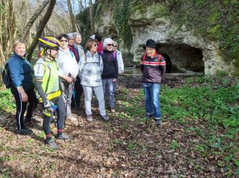
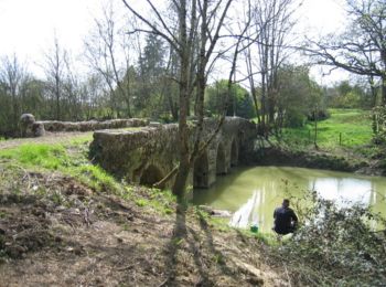
• Cauderoue et Ste-Catherine, les pieds dans la Gélise - Pays d'Albret. Cauderoue / Ste Catherine Cté de Communes du Va...
A pied
• Randonnée créée par CDT47.
A pied
• Randonnée créée par CDT47.
Marche
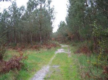
• circuit dans les bois
Marche
• foret et terre
Marche
• boucle autour de Cauderoue

Marche
Marche
• promenade
V.T.T.
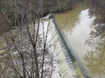
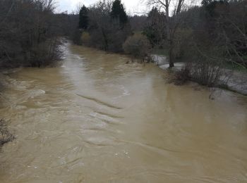
• Au nord, quelques clairières céréalières entourent le Béas et Cézerouze, au sud, c’est la forêt, avec des pistes alte...

Marche
• Au nord, quelques clairières céréalières entourent le Béas et Cézerouze, au sud, c’est la forêt, avec des pistes alte...

V.T.T.
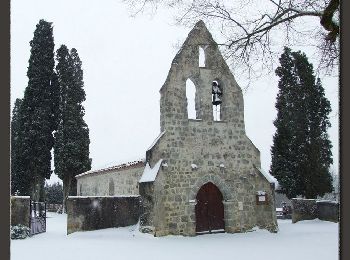
• Départ du parking de l’église. Sur cette petite boucle, tracée sur une dune de sable, vous découvrirez toutes les fac...
Marche
• Départ du parking de l’église. Sur cette petite boucle, tracée sur une dune de sable, vous découvrirez toutes les fac...
Cheval
• La forêt landaise dans toute sa diversité, chênes, quelques chênes liège, plantations de pins, pistes sableuses ou sa...

V.T.T.
• La forêt landaise dans toute sa diversité, chênes, quelques chênes liège, plantations de pins, pistes sableuses ou sa...

Marche
• La forêt landaise dans toute sa diversité, chênes, quelques chênes liège, plantations de pins, pistes sableuses ou sa...

Cheval
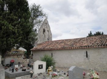
• Cauderoue, sur les pas d'Henri IV - Pays d'Albret. Cauderoue / Tauziette Communauté de Communes du Val d’Albret Ce se...
V.T.T.
• Cauderoue, sur les pas d'Henri IV - Pays d'Albret. Cauderoue / Tauziette Communauté de Communes du Val d’Albret Ce se...

Marche
• Cauderoue, sur les pas d'Henri IV - Pays d'Albret. Cauderoue / Tauziette Communauté de Communes du Val d’Albret Ce se...

Cheval
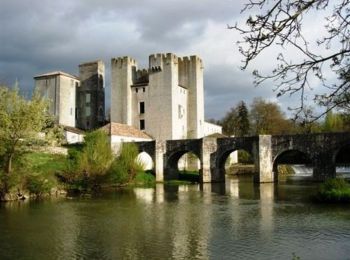
• Barbaste, la randonnée de Béas et Lausseignan - Pays d'Albret. Barbaste / Lausseignan -Communauté de Communes du Val ...
V.T.T.
• Barbaste, la randonnée de Béas et Lausseignan - Pays d'Albret. Barbaste / Lausseignan -Communauté de Communes du Val ...
20 randonnées affichées sur 27
Application GPS de randonnée GRATUITE
 SityTrail
IGN / Instituts géographiques
SityTrail World
Le monde est à vous