


9,4 km | 13,5 km-effort
Castet : découvrez les meilleures randonnées : 38 pédestres et 4 à vélo ou VTT. Tous ces circuits, parcours, itinéraires et activités en plein air sont disponibles dans nos applications SityTrail pour smartphones et tablettes.

Marche


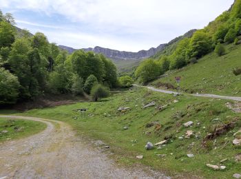
• G4 port de castet 2024
Marche
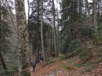
• Randonnée sur chemin ombragé en très bon état
Marche
Course à pied
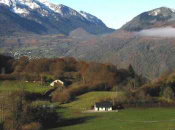
• Circuit de 11,6km avec 920+. Départ au Port de Castet, après la barrière canadienne, à droite au niveau du parc à con...

Marche
• Circuit de 11,6km avec 920+. Départ au Port de Castet, après la barrière canadienne, à droite au niveau du parc à con...
Marche
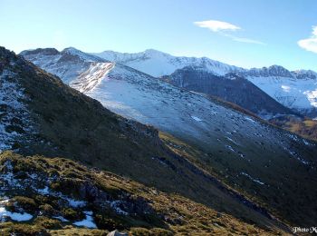
• Le Mail 1665m et le Pic Durban 1700m depuis le plateau d'Espioubet (915m) Point culminant des crêtes entourant Pé-de-...
Marche
• Le circuit se déroule en grande partie sur une crête facile Qui ne nécessite pas de poser les mains. Au départ de la ...
Marche
• Parcours créé sur Trace de Trail
Marche
Marche
• tb
Marche
Marche
• Encore une belle balade que l'on commence a connaitre. Pour clôturer l'année LPC vont déguster des huîtres a la caban...
Marche
• Possibilité de boucle : Port de Castets - Col dues Coigts - crête des Arrocs (délicat) - Soum de las Picarras - desce...
Marche
Marche
Marche
Marche
Marche
Marche
Marche
20 randonnées affichées sur 44
Application GPS de randonnée GRATUITE
 SityTrail
IGN / Instituts géographiques
SityTrail World
Le monde est à vous