


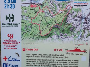
8,7 km | 12,4 km-effort
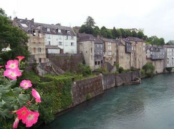
Oloron-Sainte-Marie : découvrez les meilleures randonnées : 31 pédestres et 9 à vélo ou VTT. Tous ces circuits, parcours, itinéraires et activités en plein air sont disponibles dans nos applications SityTrail pour smartphones et tablettes.
Course à pied


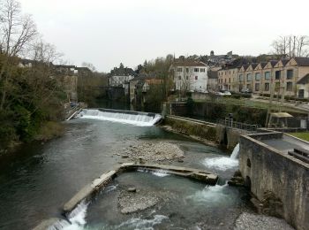
• Belle balade a faire en ete avec la chaleur 80% de la rando se fait à l'ombre
A pied
Marche
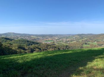
• Grand beau

Marche
A pied
Marche

A pied
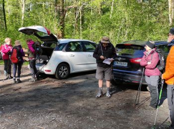
• de la maison a OLORON 34.3 km Aller 4.23 € de gas-oil soit 8.50€ A/R
Cyclotourisme
Marche
Marche
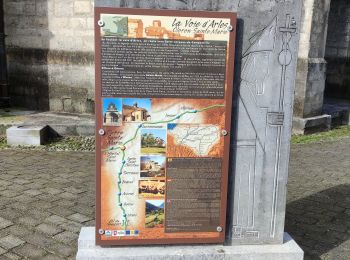
• Le sentier la "Voie de Piémont" poursuit sa progression vers l´ouest, traversant des paysages de plaines et de coteau...
Marche
• Première étape. Après Oloron se pose la question de deux ou trois étapes jusqu'au Somport. Chacun fera selon sa forme...

Marche
• chemin du piémont pyrénéen
Marche
• diable
Marche
Marche
• P
Marche
• Boucle dans les Pyrennées, départ et stationnement au parcours de santé de St-Pée-d'en-Bas. sens anti-horaire. passag...

Cyclotourisme
• Low level route
Marche
Marche
•
Cyclotourisme
• Vélo 64 Rando N° 15 Pa r c o u r s 1 / 2 j o u r n é e , fa c i l e , p o u r c y c l o t o u r i s t...
20 randonnées affichées sur 41
Application GPS de randonnée GRATUITE
 SityTrail
IGN / Instituts géographiques
SityTrail World
Le monde est à vous