


41 km | 45 km-effort
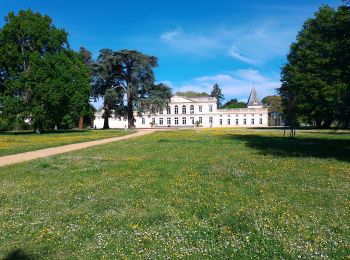
Gradignan : découvrez les meilleures randonnées : 49 pédestres et 1 à vélo ou VTT. Tous ces circuits, parcours, itinéraires et activités en plein air sont disponibles dans nos applications SityTrail pour smartphones et tablettes.

Voiture


• Bordeaux
Autre activité
• cayac
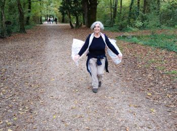
Marche
• Gradignan à le Barp
V.T.T.
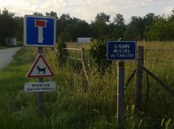
• Départ depuis le parking du Prieuré de Cayac à Gradignan ( Halte sur le chemin de Compostelle ). De grandes lignes dr...

Marche nordique
• hkk
Marche
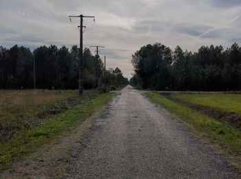
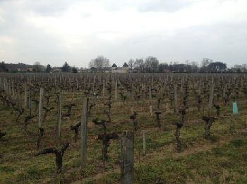
• long, très long. des lignes droites, toutes droites. pas de lieu pour faire de pause.
Marche
Marche
Marche
Marche
Marche
Marche
Autre activité

Marche
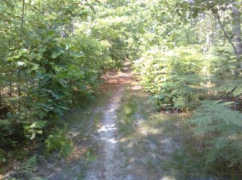
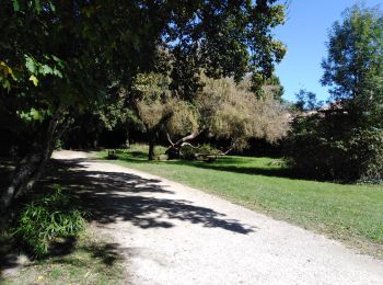
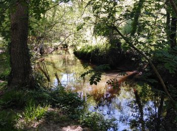
• Trés belle randonnée pratiquement toujours en sous bois. Le prieuré de Cayac est magnifique. Le chemin suit en grande...
Marche
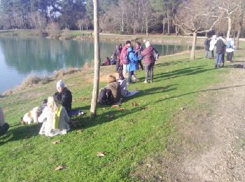
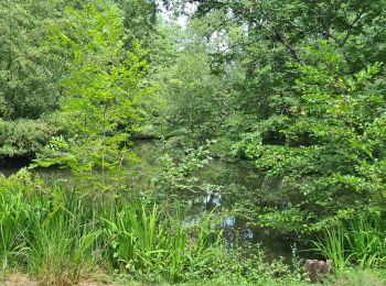
• rando promenade. Première partie jusqu'au lac vert ombragée trés agréable.
Marche

Trail
• entraînement utah
Marche
Marche
• Randonnée (promenade) en sous bois.
Marche nordique
• Première séance avec utl
20 randonnées affichées sur 56
Application GPS de randonnée GRATUITE
 SityTrail
IGN / Instituts géographiques
SityTrail World
Le monde est à vous