


40 km | 53 km-effort
Meyssac : découvrez les meilleures randonnées : 12 pédestres et 33 à vélo ou VTT. Tous ces circuits, parcours, itinéraires et activités en plein air sont disponibles dans nos applications SityTrail pour smartphones et tablettes.

V.T.T.


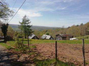
• Départ de Meyssac vers Lagleygeolle , Le Planchat, parcours de l'ancienne voie du tacot , tunnel , Beynat, Château de...
V.T.T.
• Circuit qui passe par ses 4 villages du Midi Corrézien
V.T.T.
V.T.T.
V.T.T.
• Au départ de Meyssac : Chauffour Sur Vell (à l'aller et au retour) - Saillac - Turenne - Jugeals Nazareth - Noailhac ...
Marche
Marche
Marche
V.T.T.
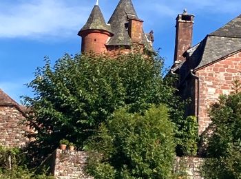
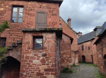
• Boucle au départ de Meyssac via Chauffour Sur Vell - Saillac - Ligneyrac - Collonges La Rouge
 12.013
sport
V.T.T.
• Boucle 2
V.T.T.
• Boucle
V.T.T.
• Boucle au départ de Meyssac avec passage par Le Pescher Sérilhac
V.T.T.
• Boucle au départ de Meyssac
V.T.T.
• Boucle au départ de Meyssac qui passe par plusieurs villages du Midi Corrèzien
V.T.T.
• Variante de ce circuit au départ de Meyssac

Marche
• meyssac saillac
V.T.T.
• Boucle au départ de Meyssac vers Chauffour Sur Vell - St Michel De Banniéres (46) La Chapelle Aux Saints Branceilles
V.T.T.
• Boucle au départ de Meyssac.
V.T.T.
• Boucle de Meyssac à St Bazile de Meyssac, Puy D'Arnac, La Chapelle Aux Saints, Chauffour Sur Vell
20 randonnées affichées sur 48
Application GPS de randonnée GRATUITE
 SityTrail
IGN / Instituts géographiques
SityTrail World
Le monde est à vous