


27 km | 33 km-effort
Gacé : découvrez les meilleures randonnées : 2 pédestres et 4 à vélo ou VTT. Tous ces circuits, parcours, itinéraires et activités en plein air sont disponibles dans nos applications SityTrail pour smartphones et tablettes.
V.T.T.


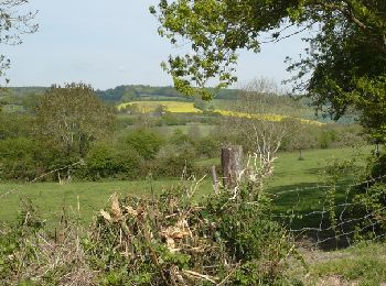
• Joli parcours avec des passages aventureux. Une trace nouvelle pour cette région de Gacé dans l'Orne.
V.T.T.
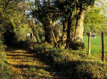
• Espace VTT FFC du Pays d’Auge Ornais Circuit labellisé par la Fédération Française de Cyclisme. A 2H30 de Paris, le P...
V.T.T.
• Espace VTT FFC du Pays d’Auge Ornais Circuit labellisé par la Fédération Française de Cyclisme. Gacé : son musée de l...
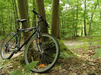
V.T.T.
• Espace VTT FFC du Pays d’Auge Ornais Circuit labellisé par la Fédération Française de Cyclisme. A 2H30 de Paris, le P...

Marche
Marche
6 randonnées affichées sur 6
Application GPS de randonnée GRATUITE
 SityTrail
IGN / Instituts géographiques
SityTrail World
Le monde est à vous