


7 km | 8 km-effort
Vauville : découvrez les meilleures randonnées : 28 pédestres, 8 à vélo ou VTT et 1 parcours équestres. Tous ces circuits, parcours, itinéraires et activités en plein air sont disponibles dans nos applications SityTrail pour smartphones et tablettes.
Marche


• Pour l'association Rêves
Marche
• Départ depuis l'entrée de Vauville par la D318 venant de Beaumont Hague
Marche
• De
Marche
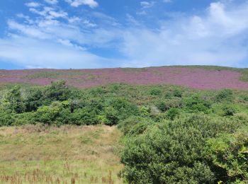
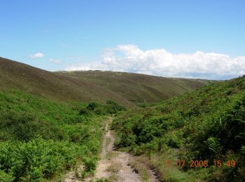
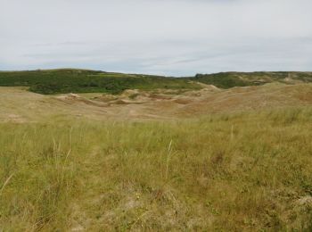
• Départ par le site des mares de Vauville à travers les dunes. Retour par le GR223 qui surplombe ce site.
V.T.T.
• J'aurais pu vous dire que cette trace traverse des terrains divers et variés, que vous y verrez de beaux paysages, qu...
Course à pied
• Le tracé de ce circuit, au départ de Vauville, a été modifié pour ne pas passer par les terrains privés ouverts pour ...
Marche
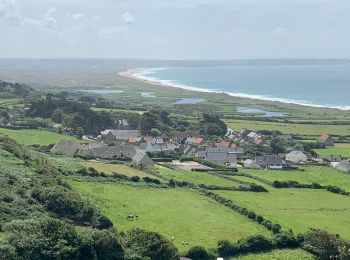
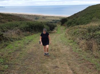
• Départ et arrivée la Crecque à Vauville. Rando dans les landes de Vauville et retour par la réserve ornithologique de...
Marche
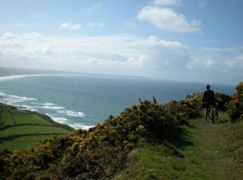
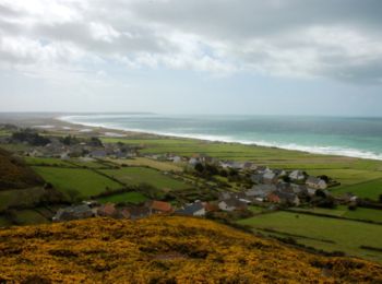
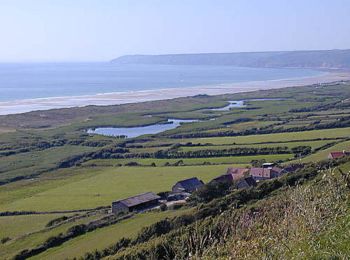
• Vue magnifique
Marche

Marche
• Départ; Parking plage de la Devise. Enchainement de 27 kilomètres de montées et de descentes. Une bonne après-midi de...
V.T.T.
• Circuit concocté par Fabrice du club des HAGUARDS; composé de chemins carrossés, de singles, de passages entre les ar...
V.T.T.
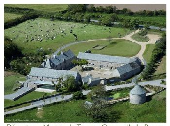
• Départ : La Crecque. Ce nom Normand est issu du mot « crèche » (mangeoire pour bétail). Camp Maneyrol. Première stati...
V.T.T.
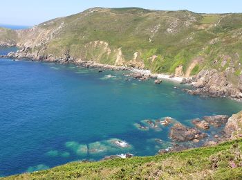
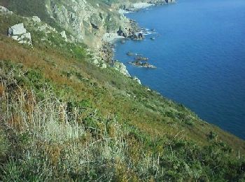
• Les Landes de Vauville – Phase Béta A travers les escarpements du littoral nord-ouest, parcourez les landes marines d...

V.T.T.
• Parcours concocté par la joyeuse équipe des Haguards qui vous fera découvrir de somptueux paysages de bord de mer. Ce...

V.T.T.
• Parcours concocté par la joyeuse équipe des Haguards qui vous fera découvrir de somptueux paysages de bord de mer. Ce...
V.T.T.
• Parcours concocté par la joyeuse équipe des haguards qui vous fera découvrir de somptueux paysages de bord de mer. Ce...

Marche
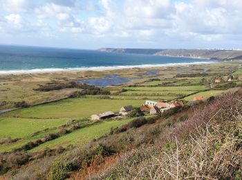
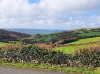
• Balade agréable qui permet de surplombé la mare et belle vue panoramique sur la plage. un passage difficile lors de l...
Marche
Marche
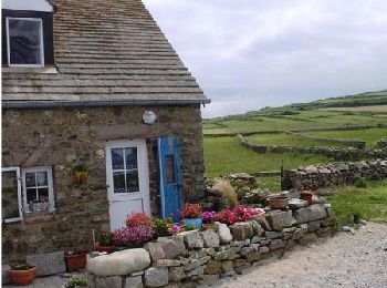
• Il est possible de raccourcir la randonnée de 5 km en rejoignant directement le Prieuré depuis le bourg de Vauville.
Marche
•
20 randonnées affichées sur 38
Application GPS de randonnée GRATUITE
 SityTrail
IGN / Instituts géographiques
SityTrail World
Le monde est à vous