Pontorson, Manche : Les meilleures randonnées, itinéraires, parcours, balades et promenades

1 commentaires

Pontorson : découvrez les meilleures randonnées : 32 pédestres, 9 à vélo ou VTT et 2 parcours équestres. Tous ces circuits, parcours, itinéraires et activités en plein air sont disponibles dans nos applications SityTrail pour smartphones et tablettes.


Les meilleurs parcours (47)
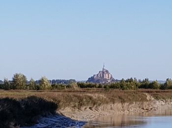
Randonnée Marche Pontorson - Les bords du Couesnon - Photo
Marche 10.038
Km

Marche

Très facile
Pontorson, Normandie, Manche, France
10 km | 10,6 km-effort
2h 7min
42 m
40 m
Oui
cecillon

• Pontorson - Moidrey

Randonnée Marche Pontorson - sentier roman pontorson - Mont Saint Michel - Photo
Marche 11.45
Km

Marche

Facile
Pontorson, Normandie, Manche, France
11,4 km | 12,4 km-effort
2h 44min
77 m
66 m
Non
MoulinPierrick

• Sentier roman Rennes - Mont Saint Michel
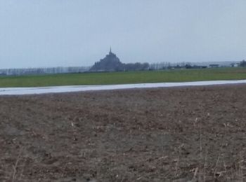
Randonnée Marche Pontorson - pontorson - Mont Saint Michel - Photo
Marche 11.449
Km

Marche

Facile
Pontorson, Normandie, Manche, France
11,4 km | 12,4 km-effort
2h 24min
75 m
64 m
Non
MoulinPierrick

• Sentier roman Rennes - Mont Saint Michel
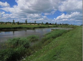
Randonnée V.T.T. Pontorson - De Pontorson à la chapelle Sainte-Anne - Photo
V.T.T. 31.598
Km

V.T.T.

Moyen
Pontorson, Normandie, Manche, France
32 km | 33 km-effort
3h 0min
81 m
81 m
Oui
tracegps

• Randonnée au départ du village de Pontorson où vous pourrez longer le cours d'eau le Couesnon. Vous vous enfoncerez e...
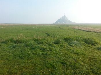
Randonnée Marche Pontorson - GR34 étape 6 - Photo
Marche 22.577
Km

Marche

Facile
Pontorson, Normandie, Manche, France
23 km | 25 km-effort
5h 30min
166 m
163 m
Non
lagardienne

• Bientôt sur le jardindelolo.fr le récit de mon périple sur le GR 34, étape par étape avec commentaires et photos.
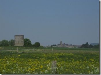
Randonnée V.T.T. Pontorson - Randonnée de Pontorson au Mont Saint Michel - Photo
V.T.T. 20.307
Km

V.T.T.

Moyen
Pontorson, Normandie, Manche, France
20 km | 22 km-effort
2h 30min
93 m
93 m
Oui
tracegps

• Balade agréable à faire en famille dans la campagne normande au départ d’un beau petit village au fil d’une rivière…
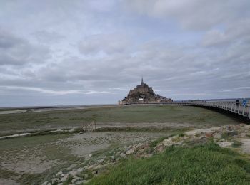
Randonnée Marche Pontorson - 2020-03-19 mont saint Michel  - Photo
Marche 6.516
Km

Marche

Moyen
Pontorson, Normandie, Manche, France
6,5 km | 7,5 km-effort
1h 2min
73 m
75 m
Non
jacq58

Randonnée Marche Pontorson - RA 2023 Les Polders - Photo
Marche 18.123
Km

Marche

Très difficile
Pontorson, Normandie, Manche, France
18,1 km | 21 km-effort
5h 25min
190 m
194 m
Non
dfluzin

Randonnée Marche Pontorson - Le Mont saint Michel  - Photo
Marche 10.007
Km

Marche

Facile
Pontorson, Normandie, Manche, France
10 km | 10,5 km-effort
2h 47min
39 m
39 m
Oui
serleb

Randonnée Marche Pontorson - GR 34 Etape 1 Pontorson Palluel Saint Marcan 12-10-2020 - Photo
Marche 26.641
Km
GUIDE

Marche

Moyen
Pontorson, Normandie, Manche, France
27 km | 29 km-effort
6h 29min
191 m
188 m
Non
Kargil

• Etape de 16 km jusqu'au gîte avec 11 km de bonus sans sac.

Randonnée Cyclotourisme Pontorson - Mont St Michel - St Hilaire 42 km - Photo
Cyclotourisme 37.206
Km
GUIDE

Cyclotourisme

Très difficile
Pontorson, Normandie, Manche, France
37 km | 41 km-effort
3h 35min
300 m
245 m
Non
jeanmarcMasson

Randonnée Cyclotourisme Pontorson - J4 - Pontorson - Saint-Hilaire - 40 km - Photo
Cyclotourisme 38.744
Km
GUIDE

Cyclotourisme

Très difficile
(1)
Pontorson, Normandie, Manche, France
39 km | 43 km-effort
Inconnu
318 m
262 m
Non
jeanmarcMasson

Randonnée Marche Pontorson - route du mont St Michel  - Photo
Marche 3.319
Km

Marche

Facile
Pontorson, Normandie, Manche, France
3,3 km | 3,5 km-effort
48min
13 m
13 m
Non
carole5983

• Que le retour

Randonnée Marche Pontorson - GR 34 Mont st Michel St brieuc - Photo
Marche 261.78
Km

Marche

Facile
Pontorson, Normandie, Manche, France
262 km | 311 km-effort
65h 30min
3682 m
3593 m
Non
Melifera

• 260 km sur le GR 34 entre Pontorson et St Brieuc
Randonnée Marche Pontorson - baie mt St Michel - Photo
Marche 7.158
Km

Marche

Très facile
Pontorson, Normandie, Manche, France
7,2 km | 7,4 km-effort
2h 21min
21 m
22 m
Non
Pataltorf

Randonnée Marche Pontorson - Le Mont St Michel - Photo
Marche 10.087
Km

Marche

Moyen
Pontorson, Normandie, Manche, France
10,1 km | 13,3 km-effort
4h 45min
243 m
240 m
Oui
GOHIER

• Abbatiale fantastique

Randonnée Marche Pontorson - patricia en Bretagne - Photo
Marche 247.937
Km

Marche

Très difficile
Pontorson, Normandie, Manche, France
248 km | 297 km-effort
67h 31min
3711 m
3615 m
Non
BITOUF69

• du mont st michel à St Brieuc

Randonnée Marche Pontorson - Mont Saint-Michel - août 2020 - Photo
Marche 403.306
Km

Marche

Très facile
Pontorson, Normandie, Manche, France
403 km | 481 km-effort
1h 19min
5841 m
5827 m
Non
patrice_baras@yahoo.fr

• ballade

Randonnée Marche Pontorson - Mont Saint- Michel  - L'Huisne - Photo
Marche 8.088
Km

Marche

Très facile
Pontorson, Normandie, Manche, France
8,1 km | 8,7 km-effort
2h 12min
44 m
38 m
Non
yamty35

• Trajet retour

Randonnée Camping-car Pontorson - camping car 1 bretagne guide michelin 2018 - Photo
Camping-car 240.808
Km

Camping-car

Très facile
Pontorson, Normandie, Manche, France
241 km | 275 km-effort
Inconnu
2600 m
2556 m
Non
loursblanc

• Vers la Côte d' Emeraude p118

20 randonnées affichées sur 47

Application GPS de randonnée GRATUITE

Logo SityTrail SityTrail

IGN / Instituts géographiques

Télécharger SityTrail sur l'App Store Télécharger SityTrail sur Google Play

Logo SityTrail SityTrail World

Le monde est à vous

Télécharger SityTrail sur l'App Store Télécharger SityTrail sur Google Play Télécharger SityTrail sur Huawei AppGallery

Activités

Régions proches

Fermer
Mes abonnements