


18,2 km | 22 km-effort
Hermival-les-Vaux : découvrez les meilleures randonnées : 5 pédestres et 5 à vélo ou VTT. Tous ces circuits, parcours, itinéraires et activités en plein air sont disponibles dans nos applications SityTrail pour smartphones et tablettes.
Marche


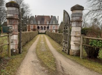
• très joli parcours
Marche

Marche
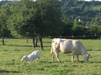
• très joli chemin
Vélo

V.T.T.
• Circuit varié à faire par temps sec.
V.T.T.
• La fameuse Randonnée qui démarre au niveau de l'Hippodrome de Lisieux et qui a lieu au mois de Novembre. La particula...
V.T.T.
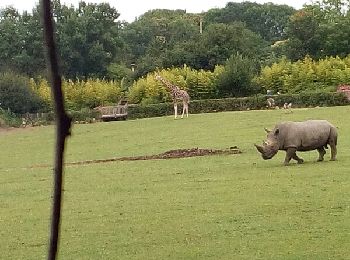
• Un super circuit dans le pays d'Auge Lexovien. Vous pourrez voir de beaux panoramas et des maisons normandes à foison...
V.T.T.
Marche

Course à pied
10 randonnées affichées sur 10
Application GPS de randonnée GRATUITE
 SityTrail
IGN / Instituts géographiques
SityTrail World
Le monde est à vous