


34 km | 38 km-effort
Mur-de-Sologne : découvrez les meilleures randonnées : 8 pédestres, 7 à vélo ou VTT et 12 parcours équestres. Tous ces circuits, parcours, itinéraires et activités en plein air sont disponibles dans nos applications SityTrail pour smartphones et tablettes.
Marche


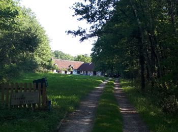
• belle rando en sous bois et grand soleil
 17.282
sport
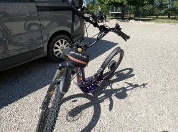
• Cani trottinette électrique Chemin privé en fin de circuit ⛔️
 10.333
sport

Marche
• randonnée de la staize
Marche
• rando du boudin
Marche
• rando.
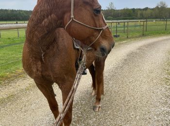
Randonnée équestre

V.T.T.

Randonnée équestre
 9.407
9.407
sport
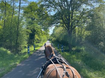
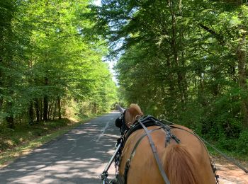
Attelage
Vélo électrique
V.T.T.
V.T.T.
Attelage
 13.684
sport
9.308
sport
13.069
sport
Marche
Attelage
20 randonnées affichées sur 31
Application GPS de randonnée GRATUITE
 SityTrail
IGN / Instituts géographiques
SityTrail World
Le monde est à vous