


3,9 km | 5,3 km-effort
Hauts de Bienne : découvrez les meilleures randonnées : 22 pédestres et 4 à vélo ou VTT. Tous ces circuits, parcours, itinéraires et activités en plein air sont disponibles dans nos applications SityTrail pour smartphones et tablettes.
Marche


Marche
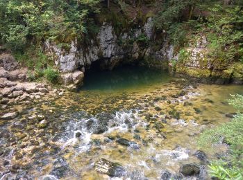
• Vous allez decouvrir des ponts de singe, des sentiers escarpés et de jolis paysages de la vallée de la Bienne, sans o...
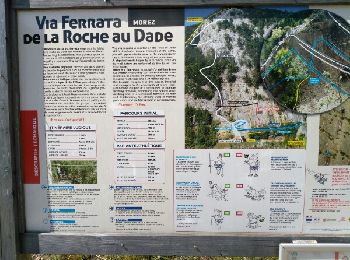
Via ferrata
• via
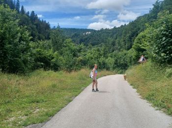
Marche
• Tour le long de la Bienne, passage sur les ponts de singe, sentiers pédagogiques, bonnes chaussures indispensables.
Marche

Cyclotourisme
• Les Rousses - Champagne en Valromey

Marche
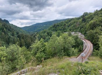
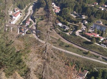
• rando forêt et belvédères sur Morez et Morbier. Quelques montées bien raide et notamment pour aller au 3 bornes avec ...
Vélo
• Morez-Mijoux

Course à pied
• par Lézat
Marche
Marche
Marche
Marche
Marche
Marche
Marche
Marche
Marche
Marche
Marche
20 randonnées affichées sur 29
Application GPS de randonnée GRATUITE
 SityTrail
IGN / Instituts géographiques
SityTrail World
Le monde est à vous