


4,9 km | 6,3 km-effort
Hauteville-lès-Dijon : découvrez les meilleures randonnées : 15 pédestres et 2 à vélo ou VTT. Tous ces circuits, parcours, itinéraires et activités en plein air sont disponibles dans nos applications SityTrail pour smartphones et tablettes.
Marche


• Le final est un bord de route ce qui n'est pas très cool. Mais bon...
A pied
• Randonnée créée par Grand Dijon.

Marche
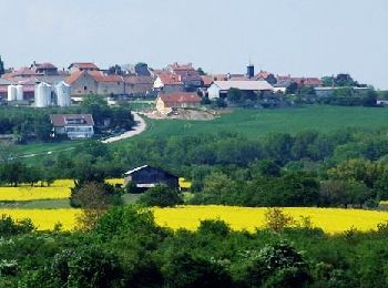
• Hauteville-ès-DijonParking à l'ouest du village, vers les terrains de tennis.
Marche
• Petite rando facile qui termine sur un bord de route... dommage
Marche
• Circuit pas trop bien balisé (juste avant la mairie à Daix, tourner à droite et monter les escaliers pour arriver au ...
Marche
Marche
• Circuit proposé par la Communauté d’Agglomération du Grand Dijon. Cette balade vous entraîne à la découverte des plat...
Marche
• Hauteville
Marche
• .
Marche
• .

Course à pied
•

V.T.T.
V.T.T.

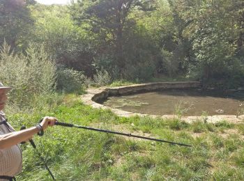
Marche nordique
Marche nordique
Marche
Autre activité
Autre activité
Marche
19 randonnées affichées sur 19
Application GPS de randonnée GRATUITE
 SityTrail
IGN / Instituts géographiques
SityTrail World
Le monde est à vous