


28 km | 34 km-effort
Cortambert : découvrez les meilleures randonnées : 6 pédestres et 4 parcours équestres. Tous ces circuits, parcours, itinéraires et activités en plein air sont disponibles dans nos applications SityTrail pour smartphones et tablettes.

Randonnée équestre


Marche

Marche
• Circuit plutôt ombragé. Montée en pente douce vers le mont St Romain.
Randonnée équestre
Randonnée équestre
Cheval

 27.137
sport
29.719
sport
29.425
sport
30.951
sport
28.591
sport
29.904
sport
Marche

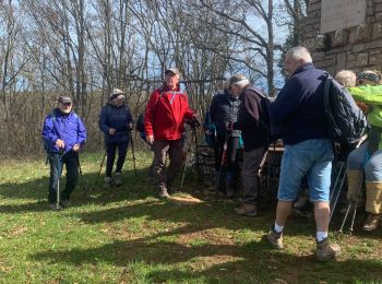
Marche nordique
14 randonnées affichées sur 14
Application GPS de randonnée GRATUITE
 SityTrail
IGN / Instituts géographiques
SityTrail World
Le monde est à vous