Villeperrot, Yonne : Les meilleures randonnées, itinéraires, parcours, balades et promenades

Villeperrot : découvrez les meilleures randonnées : 2 pédestres et 4 à vélo ou VTT. Tous ces circuits, parcours, itinéraires et activités en plein air sont disponibles dans nos applications SityTrail pour smartphones et tablettes.


Les meilleurs parcours (6)
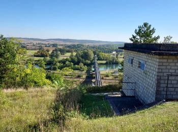
Randonnée Marche Villeperrot - Villeperrot 230907 - Photo
Marche 17.808
Km
GUIDE

Marche

Facile
Villeperrot, Bourgogne-Franche-Comté, Yonne, France
17,8 km | 24 km-effort
2h 47min
499 m
420 m
Non
Specialized77

• Reconnaissance pour Paron Rebondir
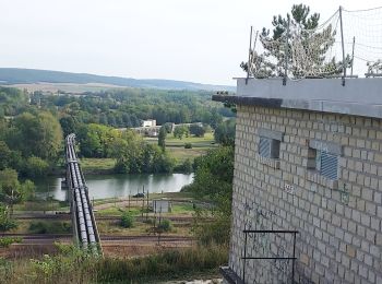
Randonnée Marche Villeperrot - Villeperrot 230917 - Photo
Marche 7.149
Km
GUIDE

Marche

Facile
Villeperrot, Bourgogne-Franche-Comté, Yonne, France
7,1 km | 9,1 km-effort
1h 50min
143 m
144 m
Oui
Specialized77

Randonnée V.T.T. Villeperrot - velo - Photo
V.T.T. 13.783
Km

V.T.T.

Très facile
Villeperrot, Bourgogne-Franche-Comté, Yonne, France
13,8 km | 16,4 km-effort
1h 16min
193 m
193 m
Oui
manolenso

• tour villeperrot

Randonnée V.T.T. Villeperrot - velo - Photo
V.T.T. 13.041
Km

V.T.T.

Très facile
Villeperrot, Bourgogne-Franche-Comté, Yonne, France
13 km | 15,6 km-effort
1h 14min
188 m
189 m
Oui
manolenso

Randonnée V.T.T. Villeperrot - balade - Photo
V.T.T. 24.868
Km

V.T.T.

Très facile
Villeperrot, Bourgogne-Franche-Comté, Yonne, France
25 km | 30 km-effort
2h 13min
374 m
351 m
Non
manolenso

Randonnée V.T.T. Villeperrot - velo - Photo
V.T.T. 6.894
Km

V.T.T.

Très facile
Villeperrot, Bourgogne-Franche-Comté, Yonne, France
6,9 km | 8,2 km-effort
1h 24min
108 m
67 m
Non
manolenso

6 randonnées affichées sur 6

Application GPS de randonnée GRATUITE

Logo SityTrail SityTrail

IGN / Instituts géographiques

Télécharger SityTrail sur l'App Store Télécharger SityTrail sur Google Play

Logo SityTrail SityTrail World

Le monde est à vous

Télécharger SityTrail sur l'App Store Télécharger SityTrail sur Google Play Télécharger SityTrail sur Huawei AppGallery

Activités

Fermer
Mes abonnements