


22 km | 25 km-effort
Sablé-sur-Sarthe : découvrez les meilleures randonnées : 5 pédestres et 3 à vélo ou VTT. Tous ces circuits, parcours, itinéraires et activités en plein air sont disponibles dans nos applications SityTrail pour smartphones et tablettes.
Marche


• La forêt de Pincé avec ses chemins de randonnée (Un topoguide est disponible à l’Office de Tourisme du Pays de Sablé)
Marche nordique
V.T.T.

V.T.T.
• Liaison J4

Marche
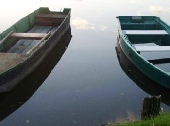
• en canoé
Marche
Marche
V.T.T.
8 randonnées affichées sur 8
Application GPS de randonnée GRATUITE
 SityTrail
IGN / Instituts géographiques
SityTrail World
Le monde est à vous