


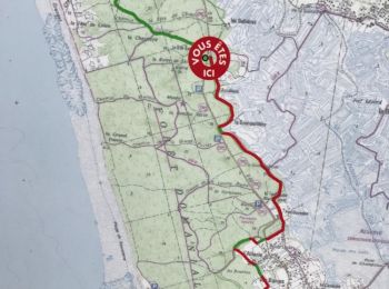
22 km | 25 km-effort
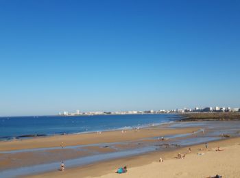
Les Sables-d'Olonne : découvrez les meilleures randonnées : 130 pédestres et 49 à vélo ou VTT. Tous ces circuits, parcours, itinéraires et activités en plein air sont disponibles dans nos applications SityTrail pour smartphones et tablettes.
V.T.T.


• Boucle de la Pironniere vers la plage du Veillon.

Cyclotourisme

Marche
• Des président le long du remblai en passant par le port, Les Halles et retour.
V.T.T.
• hm
Marche
•
Voilier
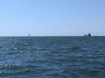
• les Sables d'Olonne le Crouesty retour fin
Voilier
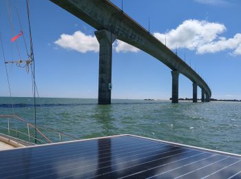
• Belle étape le long de la côte Atlantique et de l'île de Ré passage sous le pont de l'île accostage au port des Minimes.
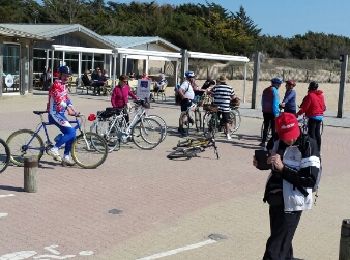
Vélo
• D/R parking complexe culturel le HAVRE D OLONNE entrée par parking SUPER U, à la sortie du bourg d'olonne, sur la rou...
Autre activité
• 10,570km. Départ Sté Émilienne
Autre activité
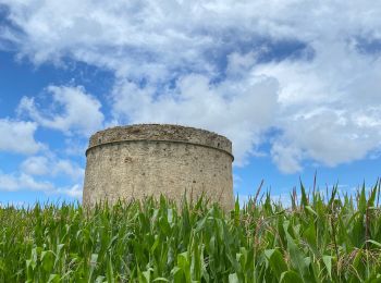
• dunes et forêt
Marche
Marche
Marche
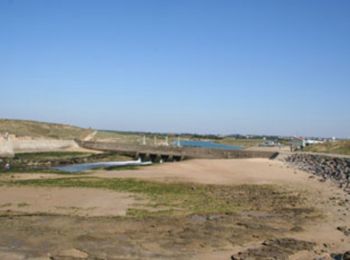
• Départ du parking du Hâvre de la Gachère. C'est ici que se termine la rivière Auzance. Elle finie sa course après avo...
Marche
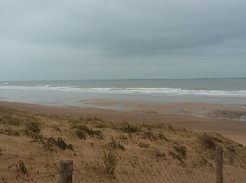
• Sentier a travers la forêt domaniale et le long de la plage sauvage
Vélo

Marche
Cyclotourisme

Marche
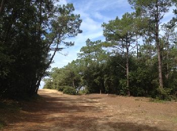
• [Tracé effectué le 06/08/2022] Itinéraire d'Olonne-sur-Mer à la plage de Sauveterre par le bois du même nom.
Marche

Marche
• Très agréable
20 randonnées affichées sur 194
Application GPS de randonnée GRATUITE
 SityTrail
IGN / Instituts géographiques
SityTrail World
Le monde est à vous