


32 km | 37 km-effort
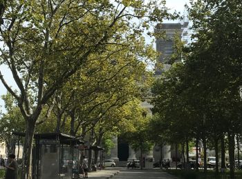
La Roche-sur-Yon : découvrez les meilleures randonnées : 23 pédestres, 43 à vélo ou VTT et 2 parcours équestres. Tous ces circuits, parcours, itinéraires et activités en plein air sont disponibles dans nos applications SityTrail pour smartphones et tablettes.

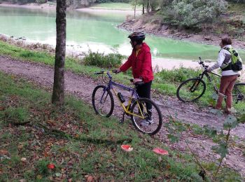
V.T.T.


• Très bon circuit perso réalisé par les membres du site VTT YON (http://vttyon.free.fr/)
V.T.C.
Marche
• Compostelle : rallier Saint Jean d'Angely depuis la Roche sur Yon pour retrouver le chemin de tours..
Marche
• Départ du parking de la rue Charles Péguy.
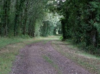
Roller
• Le départ se fait du passage à niveau des Forges à la Roche sur Yon. Ce circuit emprunte une ancienne voie ferrée sur...

V.T.T.
• Le départ se fait du passage à niveau des Forges à la Roche sur Yon. Ce circuit emprunte une ancienne voie ferrée sur...
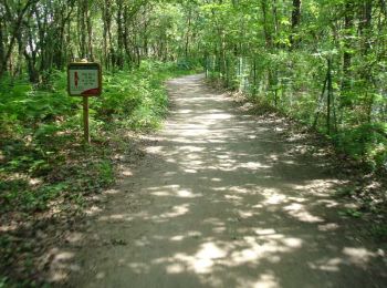
Marche
V.T.C.
• Attention par temps de pluie, sous l'autoroute, le chemin peut être glissant jusqu'à la passerelle sur l'Ornay.

Marche
• Passage à Nic À Chat
Marche
V.T.T.
• Autour du contournement sud
Marche
• covid
Vélo
• Pas encore testé ce circuit, trouvé sur le serveur Sitytrail. Je vous dirai après!

Cheval
• bocahe

Moteur
• Test Éric
Marche
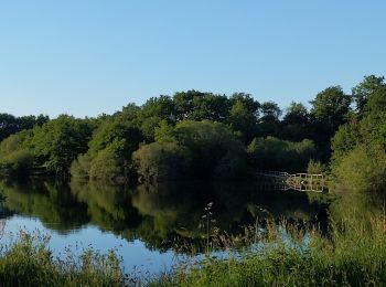
• Grand tour du lac du moulin-papon
Cheval
• sans
Vélo
•
V.T.T.
•
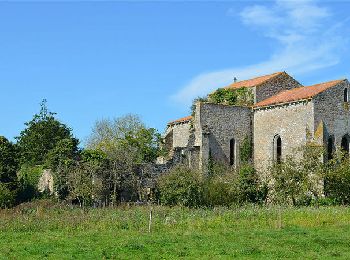
V.T.T.
• Curiosités : Lac et barrage du Moulin Papon
20 randonnées affichées sur 72
Application GPS de randonnée GRATUITE
 SityTrail
IGN / Instituts géographiques
SityTrail World
Le monde est à vous