


36 km | 53 km-effort
Sorèze : découvrez les meilleures randonnées : 43 pédestres et 14 à vélo ou VTT. Tous ces circuits, parcours, itinéraires et activités en plein air sont disponibles dans nos applications SityTrail pour smartphones et tablettes.
V.T.T.


• 25 Janvier 2006 13h30 : tout le monde est à l'heure et tous piaffent d'impatience : c'est la récré du mercredi après-...

A pied
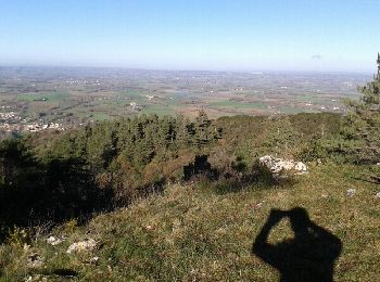
• Magnifique randonnée.
V.T.T.
A pied
Marche
• Le départ se fait à l'aire de l'Orival à Sorèze. Cette boucle traverse deux fois la vallée du Sor pour aller faire le...
Vélo
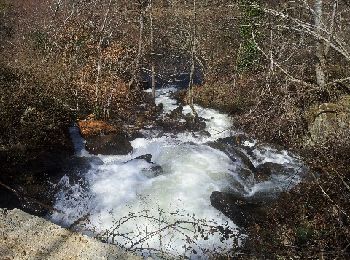
• Parcours facile et très intéressant par temps chaud surtout le long de la rigole de la Montagne Noire. Elle servait à...

Marche
Marche
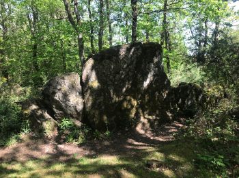
• Opidum
Marche
Marche
• quand on n'a pas 4h
Autre activité
Marche
• réalisée le 20 octobre 2024

Course à pied
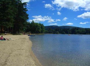
• Footing à saint Ferreol
Marche
• Boucle de 15,6 km et 540 m de dénivelée positive
Marche
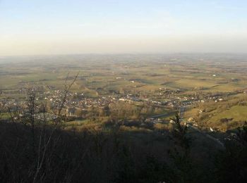
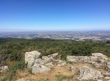
• C'est une très jolie randonnée au départ de Sorèze. Au point le plus nous découvrons la plaine du Lauragais, Sorèze,...
V.T.T.
Marche

Marche
Marche
• Balade tranquille avec une bonne partie en sous bois
Marche
• grande boucle pour une très belle randonnée
20 randonnées affichées sur 59
Application GPS de randonnée GRATUITE
 SityTrail
IGN / Instituts géographiques
SityTrail World
Le monde est à vous