


13,8 km | 17,6 km-effort
Cordes-sur-Ciel : découvrez les meilleures randonnées : 23 pédestres et 3 à vélo ou VTT. Tous ces circuits, parcours, itinéraires et activités en plein air sont disponibles dans nos applications SityTrail pour smartphones et tablettes.
Marche


• Circuit autour de Cordes très agréable avec au final la traversée de ce magnifique village, prendre son temps pour le...
Marche
• Itinéraire de Cordes-sur-Ciel à Pechbonnieu, en 5 étapes d'environ 20 km : Cordes, Cahuzac-sur-Vère, Gaillac, Rabaste...
Marche
•
Marche
Marche
• visite
Voiture
Marche
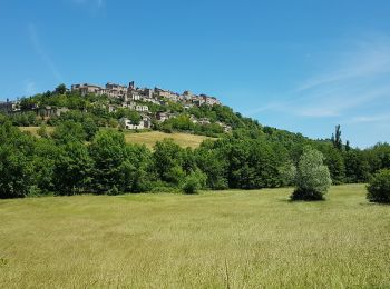
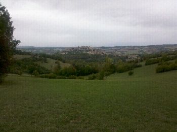
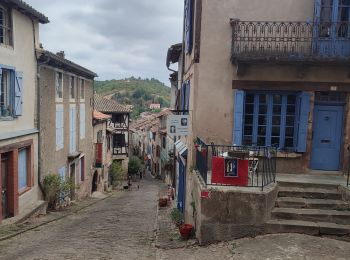
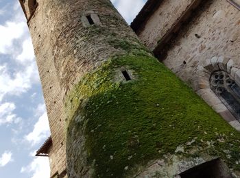
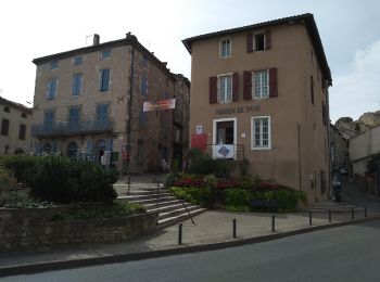
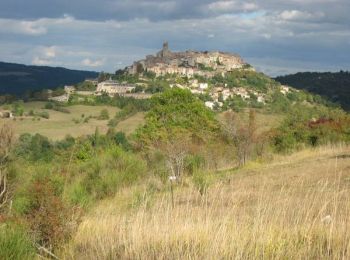
• Ville médiévale et haut lieu du patrimoine Européen. Classée Grands Sites Midi-Pyrénées
Marche
• Le départ ce situe au sud de Cordes prés des rues de Litou et de Fournarens ( attention aux parcmètres!)Pour une arri...
Course à pied
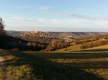
• Cette jolie boucle fait découvrir de beaux panoramas sur Cordes ( voir les photos ). Du cœur de la cité médiévale, on...

Marche
• Cette jolie boucle fait découvrir de beaux panoramas sur Cordes ( voir les photos ). Du cœur de la cité médiévale, on...

Marche
• superbe village. trace bizarre ?
Marche
• Par le gr 46
Marche
• Randonnée tracée sur la carte, pas tester sur le terrain.
Marche
• Rando ARDER Bastides Albigeoises Cordes/Ciel le 16/10/2012
Marche
Marche

A pied
A pied

V.T.T.
V.T.T.
20 randonnées affichées sur 28
Application GPS de randonnée GRATUITE
 SityTrail
IGN / Instituts géographiques
SityTrail World
Le monde est à vous