


22 km | 29 km-effort
Anglès : découvrez les meilleures randonnées : 28 pédestres. Tous ces circuits, parcours, itinéraires et activités en plein air sont disponibles dans nos applications SityTrail pour smartphones et tablettes.
Marche


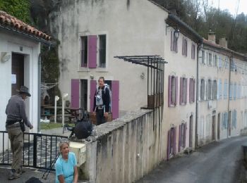
• St Jacques

Marche
• Assez ombragée. Beaucoup de macadam.
Marche
Marche
Course à pied
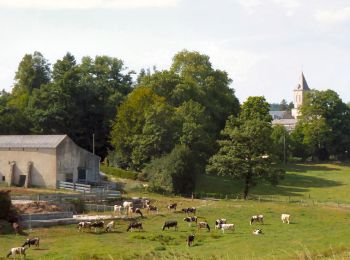
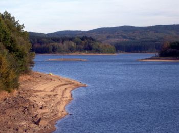
• Au départ d'Anglès dans le Tarn, parcourez le plateau du même nom qui surplombe en partie le lac de la Raviège. Nombr...

Marche
• Au départ d'Anglès dans le Tarn, parcourez le plateau du même nom qui surplombe en partie le lac de la Raviège. Nombr...
Marche
• Boucle en partant direction Nord vers Cabirac, le Thouys, les Menous, Côte 803, Col de la Tranchée, Campmathieu, les ...
Marche
Marche
Marche

A pied
Marche
Marche
Marche
Marche
Marche
Marche
Marche
Marche
Autre activité
20 randonnées affichées sur 29
Application GPS de randonnée GRATUITE
 SityTrail
IGN / Instituts géographiques
SityTrail World
Le monde est à vous