


9,4 km | 14,3 km-effort
Massaguel : découvrez les meilleures randonnées : 6 pédestres et 7 à vélo ou VTT. Tous ces circuits, parcours, itinéraires et activités en plein air sont disponibles dans nos applications SityTrail pour smartphones et tablettes.

V.T.T.


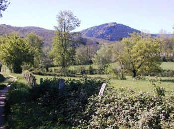
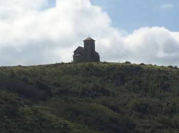
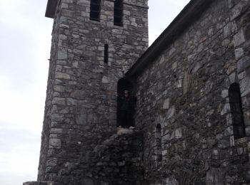
• Montée à la Capelette par la vallée du Sant. Descente par le sentier à travers les genêts.
Marche
• Montée à la Capelette par la vallée du Sant. Descente par le sentier à travers les genêts.

Vélo
• rude boucle
Marche
V.T.T.
V.T.T.
• Circuit assez physique avec passages techniques. Pour votre sécurité n'hésitez pas a faire du portage. panoramas impr...
V.T.T.
• Circuit difficile avec quelques passages techniques et poussettes. Ce circuit est une variante du circuit 4692
V.T.T.
• Circuit difficile avec quelques passages techniques et poussettes.
V.T.T.
• Balade familiale dans le piémont de la Montagne Noire.

Marche

A pied
A pied
Marche
Autre activité
14 randonnées affichées sur 14
Application GPS de randonnée GRATUITE
 SityTrail
IGN / Instituts géographiques
SityTrail World
Le monde est à vous