


14,8 km | 18,2 km-effort
Rocles : découvrez les meilleures randonnées : 11 pédestres, 4 à vélo ou VTT et 26 parcours équestres. Tous ces circuits, parcours, itinéraires et activités en plein air sont disponibles dans nos applications SityTrail pour smartphones et tablettes.
Course à pied


• il faut parfois chercher son chemin, et attention genets et buissons sont très présents et quelques griffures. je me ...

Randonnée équestre
Vélo de route
• joli tour sur des petites routes en majorité.
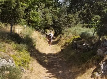
Marche
• petite rando Au depart de Rocles Se garer devant l eglise Passer devant la fontaine Et suivre le balisage jaune Que...
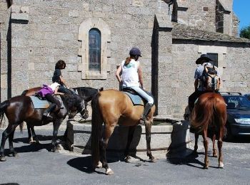
Cheval
• Très belle balade sur de bons chemins. Fontaine pour les chevaux et boulangerie à Auroux. Le GR dans Auroux n'est pas...
Cheval
• Boucle agréable avec pas mal de chemin dans les bois. Dommage que ces sentiers soient toujours cadrés par des rangées...
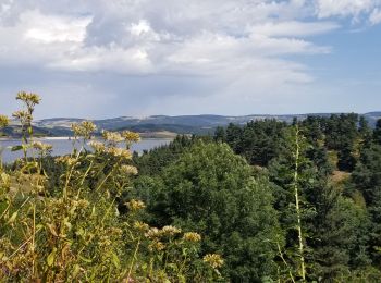
Cheval
• Boucle au départ du relais de Palhères. Un peu de goudron au départ, puis vue sur le réservoir de Naussac avant Brige...
Marche
Marche
Marche
Marche

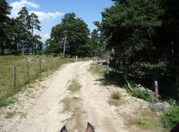
Cheval
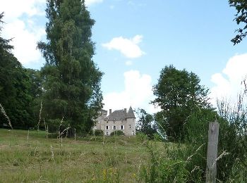
• Balade vers le château de Soulages
V.T.T.
• Espace VTT FFC Domaine VTT du Gévaudan Circuit labellisé par la Fédération Française de Cyclisme. Situé en plein coeu...
Marche
Randonnée équestre
• maj 2021

 367.626
sport
• avec maj du 21juin20
Randonnée équestre
• Sans Ferme de Peyre et sans Au delà Nuages rajout de Baraquillou et Pradelou
Randonnée équestre
• avec maj du 21juin20
Randonnée équestre
• 2 jours de chez Sonia vers Patrick
Randonnée équestre
• calèche ok
20 randonnées affichées sur 38
Application GPS de randonnée GRATUITE
 SityTrail
IGN / Instituts géographiques
SityTrail World
Le monde est à vous