


16,2 km | 31 km-effort
Agos-Vidalos : découvrez les meilleures randonnées : 11 pédestres. Tous ces circuits, parcours, itinéraires et activités en plein air sont disponibles dans nos applications SityTrail pour smartphones et tablettes.
Marche


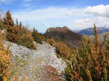
• Cette boucle au départ de l’aire de la Porte des Vallées des Gaves permet de découvrir le Pic du Pibeste et le Pene d...

A pied
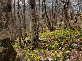
• Départ parking des portes des gaves à Agos Vidalos. Une rando longue certes mais oh combien agréable. En montant en d...

Marche
• Très beau temps. Neige en fin de parcours
Marche
Marche
Marche
• Départ parking des portes des gaves à Agos Vidalos. Une rando longue certes mais oh combien agréable. En montant en d...
Marche
• Pibeste par Agos Vidalos
Marche
• Distance 8.2km Dénivelé 1000m Durée 3h30 A/R On monte généralement au Pibeste par Ouzous et le col de Porte, parfois ...
Marche
Marche
• Distance 2.8 km Dénivelé 300 m Durée 1h On peut partir comme indiqué du parking de l'église, ou laisser la voiture au...
Marche
11 randonnées affichées sur 11
Application GPS de randonnée GRATUITE
 SityTrail
IGN / Instituts géographiques
SityTrail World
Le monde est à vous