


12,6 km | 16,7 km-effort
Nestier : découvrez les meilleures randonnées : 5 pédestres. Tous ces circuits, parcours, itinéraires et activités en plein air sont disponibles dans nos applications SityTrail pour smartphones et tablettes.
Marche


• Départ de la maison 1h03 de route et autoroute sortie 16 puis vers La Barthe de Neste / Tuzaguet / Aneres / Nestier ...

Marche
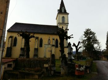
• NESTIER-LORTET
Marche
Marche
Marche
5 randonnées affichées sur 5
Application GPS de randonnée GRATUITE
 SityTrail
IGN / Instituts géographiques
SityTrail World
Le monde est à vous