


48 km | 67 km-effort
Capvern : découvrez les meilleures randonnées : 4 pédestres et 1 à vélo ou VTT. Tous ces circuits, parcours, itinéraires et activités en plein air sont disponibles dans nos applications SityTrail pour smartphones et tablettes.
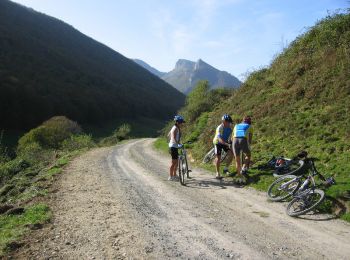
V.T.T.


• On a tous l'habitude dans les hautes Pyrénées de parcourir les Baronnies de part en part et en vélo de route. Voici u...
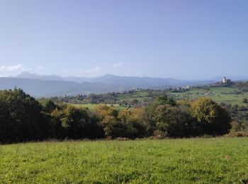
Marche
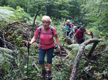
Marche

Marche
Marche
5 randonnées affichées sur 5
Application GPS de randonnée GRATUITE
 SityTrail
IGN / Instituts géographiques
SityTrail World
Le monde est à vous