


11,7 km | 21 km-effort
Mayrègne : découvrez les meilleures randonnées : 9 pédestres. Tous ces circuits, parcours, itinéraires et activités en plein air sont disponibles dans nos applications SityTrail pour smartphones et tablettes.
Marche


Marche
Marche
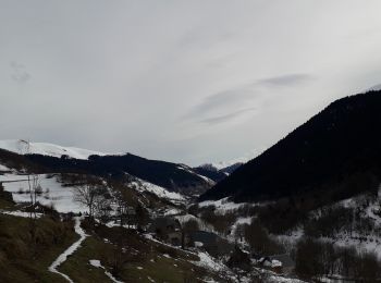
• Il vaut mieux laisser une voiture à St. Paul. Par temps froid et avec neige : attention à la traversée du ruisseau à ...
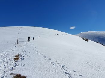
Raquettes à neige

Marche
Marche
Marche
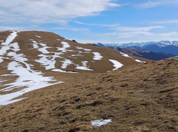
• Une belle randonnée réalisée presque entièrement à découvert, avec un long et magnifique parcours de crête.A savourer...
Marche
• Une belle randonnée réalisée presque entièrement à découvert, avec un long et magnifique parcours de crête.A savourer...

Raquettes à neige
Marche
Marche
11 randonnées affichées sur 11
Application GPS de randonnée GRATUITE
 SityTrail
IGN / Instituts géographiques
SityTrail World
Le monde est à vous