


10,2 km | 17,1 km-effort
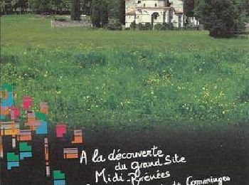
Saint-Bertrand-de-Comminges : découvrez les meilleures randonnées : 24 pédestres et 1 à vélo ou VTT. Tous ces circuits, parcours, itinéraires et activités en plein air sont disponibles dans nos applications SityTrail pour smartphones et tablettes.
Marche


• Une collection de 10 fiches de randonnées pédestres et 13 fiches dédiées au VTT vous sont proposées par la Communauté...
A pied
• Randonnée créée par FFRandonnée.
Marche
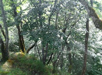
• Tour du bois de Ruère par le Mail de Hard (819 m). Circuit sympa en forêt.
Marche
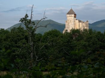
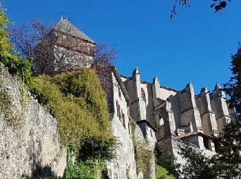
• St Bertrand de Comminges - Montréjeau

A pied
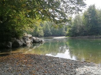
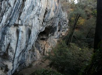
• Tres belle balade, à faire de préférence sur terrain sec. faites un détour au gouffre de l'aspugues ou vous profitere...

Marche
• boucle en forêt du côté de St Bertrand . sentier un peu raide avant le mail de Hard. Aller jusqu'au point de vue, ç...
Marche
• Narcisses à foison!!!
Marche
Marche
• Le Pic de Cau

Vélo électrique
• circuit vélo - étape 11
Marche
Marche
Marche
• Tres belle balade, à faire de préférence sur terrain sec. faites un détour au gouffre de l'aspugues ou vous profitere...
Marche
• Voir étape 1 Carcassonne - Ville neuve les Montréal
Marche
• Balade au dessus de St Bertrand
Marche
Marche
Marche
Marche
Marche
20 randonnées affichées sur 25
Application GPS de randonnée GRATUITE
 SityTrail
IGN / Instituts géographiques
SityTrail World
Le monde est à vous