


12,1 km | 23 km-effort
Boutx : découvrez les meilleures randonnées : 72 pédestres et 1 à vélo ou VTT. Tous ces circuits, parcours, itinéraires et activités en plein air sont disponibles dans nos applications SityTrail pour smartphones et tablettes.

Marche


Marche
• Boucle
Marche
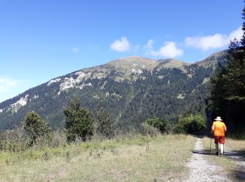
• Depuis le parking, remonter jusqu'au haut du téléski Fontaine (0:10) puis suivre le bord du bois Sud Sud Est, sans se...
Marche
• Depuis le Col de Menté, prendre la route forestière du Soulan qui part Nord Ouest. C'est rare mais la randonnée comme...
Marche
• passages délicats demandant une habittude de la haute montagne...à faire par temps sec !
Marche
• Boutx-Fronsac (bivouac à la chapelle Notre-Dame d'Esputs)
Raquettes à neige
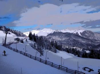
Raquettes à neige
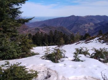
• rendue possible par la fermeture des remontées mécaniques, remonté de piste jusque’au pied du tuc de l'étang effectue...

Marche
• deux heures agreable en fin d'apres midi sans nuages. belle vue
Marche

Marche
Marche
• Le Couéu,GR tour du Cagire Burat, cabane ,col de Piéjau,cols Cousirès et Grataux,Pas de Pèyre Nère,pics de la Pâle d...
Marche
Marche
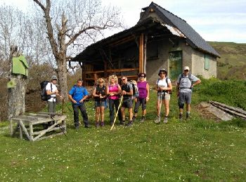
• depart boutx la chapelle en boucle
Marche
• marche
Marche
• le tuc de pan au depart d'Argut dessus en aller retour.
Marche
Marche
• long
Marche
• Le 21 Juillet 2022
Marche
• la piste raide est très encombrée au debut mais ca passe en restant toujours sur cette piste.
20 randonnées affichées sur 90
Application GPS de randonnée GRATUITE
 SityTrail
IGN / Instituts géographiques
SityTrail World
Le monde est à vous