


32 km | 38 km-effort
Fronton : découvrez les meilleures randonnées : 7 pédestres, 8 à vélo ou VTT et 7 parcours équestres. Tous ces circuits, parcours, itinéraires et activités en plein air sont disponibles dans nos applications SityTrail pour smartphones et tablettes.

V.T.T.


• 2015

Marche
• vignes et forêts
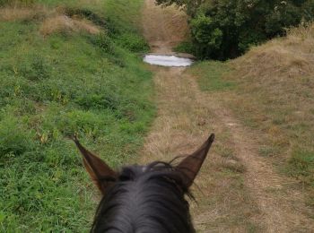
Randonnée équestre
• Tracé sans la boucle faisant passer le long d'un champ (chemin sur la carte mais pas sur le terrain…)

Randonnée équestre

Randonnée équestre
Randonnée équestre
Randonnée équestre
• Recherche de chemins pour trec

V.T.T.
• Ce circuit a l'avantage d'être ni trop long, ni trop court. Par ailleurs le dénivelé du parcours est tout à fait abor...
Marche
• projet rando endurance
V.T.T.
• 35 km
V.T.T.
• ra.do du dimanche
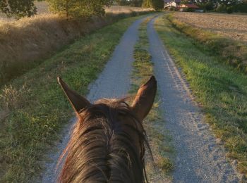
Cheval
• Rando équestre pour trec d'environ 19 kms
V.T.T.
•
V.T.T.
• Parcours entre Fronton et Bouloc. Un peu de route au départ mais ensuite que de la forêt et des champs. Quelques mont...
Marche
Marche
Marche
V.T.T.
Marche

 16.937
sport
20 randonnées affichées sur 22
Application GPS de randonnée GRATUITE
 SityTrail
IGN / Instituts géographiques
SityTrail World
Le monde est à vous