


15 km | 25 km-effort
Fontrabiouse : découvrez les meilleures randonnées : 24 pédestres et 2 à vélo ou VTT. Tous ces circuits, parcours, itinéraires et activités en plein air sont disponibles dans nos applications SityTrail pour smartphones et tablettes.
Marche


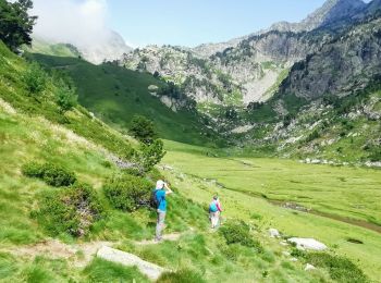
• 15km et 800m de dénivelé environ. Randonnée sans difficulté particulière. A Espousouille virer à gauche en épingle et...

Marche
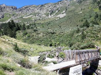
• A Espousouille à gauche en épingle vers le Galbe. Le chemin qui mène au parking est carrossable. Panorama magnifique
Marche
• puyvalador
Marche
• Via le hameau d'espousouilles (prendre route forestière à gauche dans le hameau) - faire le retour par même sentier, ...

Marche
Marche
Marche
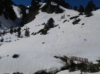
Raquettes à neige
• Rando magnifique sur la deuxième partie. Un peu sportif seulement après le 2ieme refuge. Le reste du temps c'est sans...
V.T.T.
• Espace VTT - FFC Capcir – Haut Confluent Circuit labellisé par la Fédération Française de Cyclisme. Le départ s'effec...
Marche
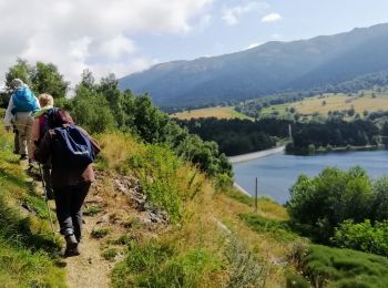
• Départ au parking de la vallée du Galbe. Au premier croisement prendre direction les Camporells. On peut aussi plus l...
Marche
Marche
Marche
• J3 P3 T3 -Dessin approximatif-
Marche
• L'indépendant 48 balades en pays Catalan et Audois Page 38
Marche
• corporels par vallée du galbe
Marche
• lacs des camporrels par vallée du galbe
Marche
Marche
Marche

V.T.C.
20 randonnées affichées sur 28
Application GPS de randonnée GRATUITE
 SityTrail
IGN / Instituts géographiques
SityTrail World
Le monde est à vous