


14,8 km | 27 km-effort
Angoustrine-Villeneuve-des-Escaldes : découvrez les meilleures randonnées : 102 pédestres et 1 à vélo ou VTT. Tous ces circuits, parcours, itinéraires et activités en plein air sont disponibles dans nos applications SityTrail pour smartphones et tablettes.
Marche


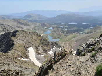
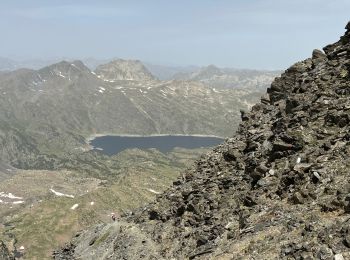
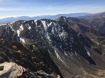
• Point culminant du département des Pyrénées Orientales. Ascension par les Bouillouses. La dernière partie de l’ascens...
 17.143
sport
• Très belle randonnée
Marche
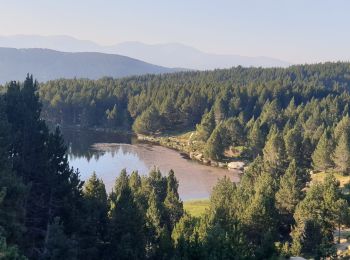
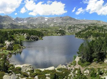
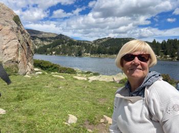
• Magnifique balade le long du lac des Bouillouses jusqu’au refuge des Camporeils

Marche
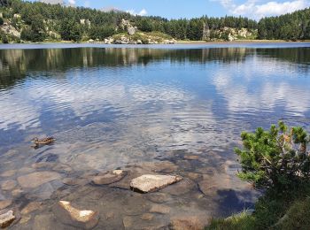
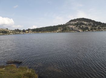
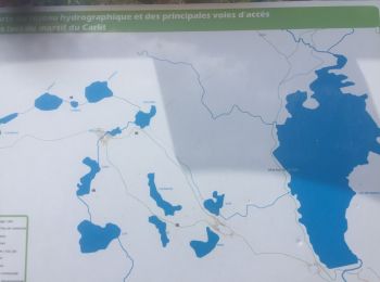
• Depart point info du Lac des Bouillouses. Prendre le sentier Balmetta, longer le lacjusqu'au bout suivre le panneau l...
Marche
• La caractéristiques de cette randonnée est que sur les 15km, il n'y a en pas plus de trois qui permettent de marcher ...
A pied
• Symbole: osmc:symbol=yellow:yellow_bar

Marche
Marche
• petite grimpe splendide

Marche
•
Marche
 13.274
sport
Marche
• Lacs d’en haut
Marche
A pied
• Départ au barrage des Bouillouses, on suit le lac jusqu'au fond puis on tourne à gauche pour aller jusqu'au fond de l...
Marche
Marche
Marche

Marche

Marche
• l ogre
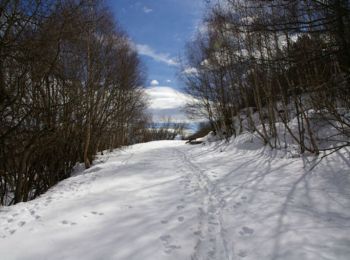
Raquettes à neige
• Une randonnée raquette pour monter à la chapelle Sant Marti d'Envalls en boucle depuis Angoustrine.
20 randonnées affichées sur 112
Application GPS de randonnée GRATUITE
 SityTrail
IGN / Instituts géographiques
SityTrail World
Le monde est à vous