


5,3 km | 8,7 km-effort
Casteil : découvrez les meilleures randonnées : 85 pédestres. Tous ces circuits, parcours, itinéraires et activités en plein air sont disponibles dans nos applications SityTrail pour smartphones et tablettes.
Marche


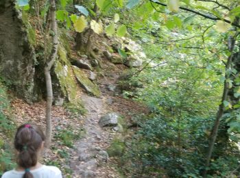
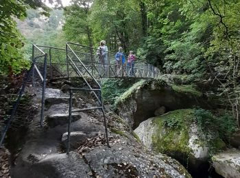
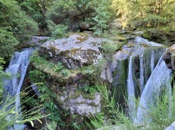
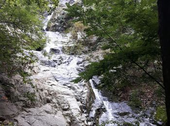
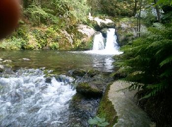
• tres.beau parcours le long du cady qui.nous enchante de sa musique en cascade...chemin ombrage parsemés de pierres qu...
Marche
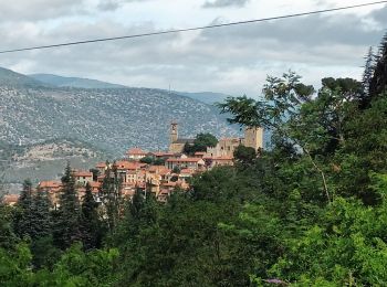
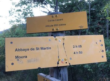
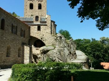
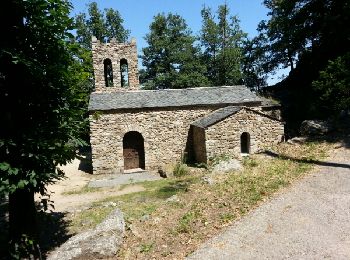
• Abbaye de St Martin du Canigou
Marche
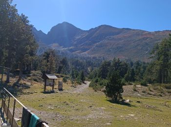
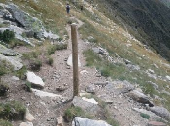
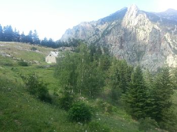
• Étape 2 Ascension Canigou Mariailles - Canigou - Refuge des Cortalets Col Verd Refuge Arago Portella de Vallmanya- 25...
Marche
• 14km 1200 m positifs 600 m négatifs
Marche
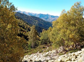
• gorges de Cady
Marche
• Le matin dans les gorges, l'après-midi visite de l'Abbaye
A pied
• Départ du parking du cimetière de Casteil vers l'Abbaye de St Martin du Canigou, redescente de l'Abbaye par un chemin...
Marche
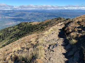
• Un peu sportif. Au départ ça monte sur 5km 1100m de dénivelé + Attention à la bifurcation à Moura j’ai un peu tourné ...

Marche
• Sans difficulté majeure pour des randonneurs confirmés. Depuis le 28 Mai 2019 la dernière passerelle est fermée pour ...

Marche
Marche
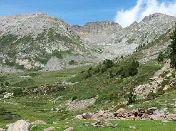
• Départ depuis le parking du Randé (piste depuis col de Jou), piste jusqu'au refuse de mariailles fermée en saison. su...

A pied
Marche
• SUIVRE SENTIER (marque jaune), retour par même sentier - sentier fermé à la cascade - spot de Canyoning (réglementé) ...
Marche
• Départ du parking le Randé 1520 m. Rando très jolie et très agréable car montée progressive et paysages magnifiques. ...
Marche
• Une bonne montée pendant 45mn ravitaillement en eau de source potable possible donc inutile de se charger.
Marche
• Une bonne montée pendant 45mn ravitaillement en eau de source potable possible donc inutile de se charger.
Marche
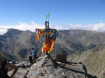
• Belle rando . La partie cheminée à la fin de la montée peut être difficile pour une personne sujette au vertige
Marche
Marche
• En voiture, de Vernet les Bains, prendre direction Casteil, puis de Casteil direction col de Jou, au col de Jou prend...
Marche
20 randonnées affichées sur 91
Application GPS de randonnée GRATUITE
 SityTrail
IGN / Instituts géographiques
SityTrail World
Le monde est à vous