


7 km | 9,3 km-effort
Sournia : découvrez les meilleures randonnées : 7 pédestres, 1 à vélo ou VTT et 1 parcours équestres. Tous ces circuits, parcours, itinéraires et activités en plein air sont disponibles dans nos applications SityTrail pour smartphones et tablettes.
Marche


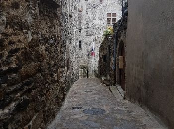
• rando pour famille
Marche
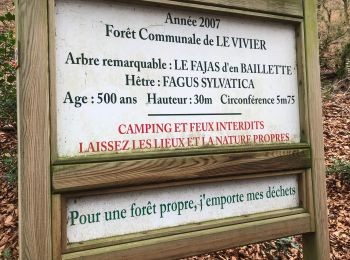
Marche

Marche
• léger

Marche
• depuis CAP. France 1 jour
Marche
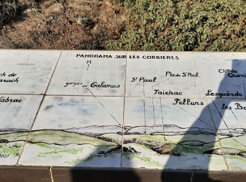
• très belle rando bucolique

Cheval
•
Marche

 17.802
sport

V.T.T.
10 randonnées affichées sur 10
Application GPS de randonnée GRATUITE
 SityTrail
IGN / Instituts géographiques
SityTrail World
Le monde est à vous