


7,8 km | 17,9 km-effort
Porta : découvrez les meilleures randonnées : 12 pédestres, 1 à vélo ou VTT et 1 parcours équestres. Tous ces circuits, parcours, itinéraires et activités en plein air sont disponibles dans nos applications SityTrail pour smartphones et tablettes.
Marche


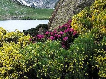
• Belle montée franche A faire avec de la belle neige poudreuse et un ciel bien degagé car Beau panorama au sommet
Marche
• Se garer juste avant la frontière. Partir sur la gauche le long des immeubles coté France. Prendre un sentier balisé ...
Marche
• ontineraire retour dangereux
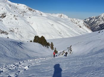
Raquettes à neige
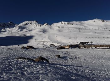
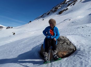
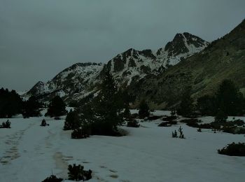
• En visant le sommet, c'est assez sportif. Belle récompense à l'arrivée. La vue sur 360 degrés est splendide
Raquettes à neige
• le circuit peut être modifié pour le rendre plus facile
Autre activité
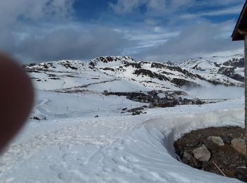
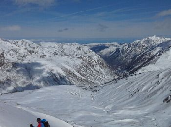
• Ski de rando
Raquettes à neige
Raquettes à neige
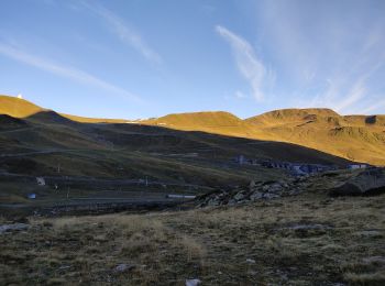
• Ensoleillé dès le matin mi février
Cheval
• Sixième étape du Chemin des Bonhommes. Réalisée par le Bureau des Guides Équestres Transpyrénéens, cette trace fait p...

V.T.T.
• Sixième étape du Chemin des Bonhommes. Réalisée par le Bureau des Guides Équestres Transpyrénéens, cette trace fait p...

Marche
• Sixième étape du Chemin des Bonhommes. Réalisée par le Bureau des Guides Équestres Transpyrénéens, cette trace fait p...

A pied
• Porta-village, chemin de l'Homme Mort, chemin de Bena à Porté puis la Carolane jusqu'à Porta.
Marche
Marche
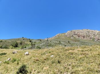
• Tri des vaches en Haute Ariège.

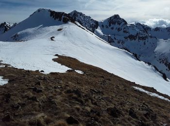
Ski de randonnée
• ski de rando/couloir

Marche
Marche
Ski de randonnée
Marche
Ski de randonnée
20 randonnées affichées sur 30
Application GPS de randonnée GRATUITE
 SityTrail
IGN / Instituts géographiques
SityTrail World
Le monde est à vous