


18 km | 25 km-effort
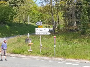
La Salvetat-sur-Agout : découvrez les meilleures randonnées : 33 pédestres et 4 à vélo ou VTT. Tous ces circuits, parcours, itinéraires et activités en plein air sont disponibles dans nos applications SityTrail pour smartphones et tablettes.
Marche


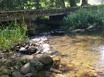
• Circuit forêt du Somail

Marche
• Petite randonnée au départ de l'aire des campings car
Marche
• St Jacques

Marche
• St Jacques
V.T.T.
• Portion du circuit vtt n2 de la salvetat
Course à pied
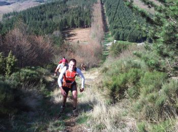
• Parcours du Trail de la SALVETAT 2008.

Marche
• Parcours du Trail de la SALVETAT 2008.

Marche
• Beau parcours. météo médiocre.

V.T.T.
• circuit VTTFC Noir 3 41Km autour de la salvetat
V.T.T.
• Circuit VTTFC Noir 2 départ du col de la Baraque
Marche
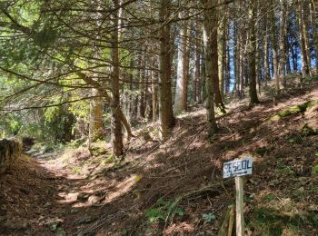
• De nombreux passages en sous bois
Marche
• balade facile
Marche
Marche
• Sympa mais attention à la chaleur Avec A et son fils Paul et lydie
Marche
• La_Lauze
Marche
Marche
• foret domaniale du soail
Marche
• La durée du parcours tient compte des arrêts : photos, pique nique, etc....
V.T.T.
• Vieux circuit au départ de la Salvetat sur Agout ou du Cabaretou. Très bien balisé. Trop méconnu à mon avis. Parties ...
Marche
20 randonnées affichées sur 39
Application GPS de randonnée GRATUITE
 SityTrail
IGN / Instituts géographiques
SityTrail World
Le monde est à vous