


15,8 km | 22 km-effort
Gigean : découvrez les meilleures randonnées : 47 pédestres et 3 à vélo ou VTT. Tous ces circuits, parcours, itinéraires et activités en plein air sont disponibles dans nos applications SityTrail pour smartphones et tablettes.
Marche


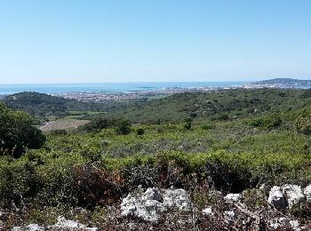
• rando sympa tranquille belles vues sur la mer a eviter par temps chaud et si venteux prendre kway
Marche
Marche
• Facile

Marche
Marche
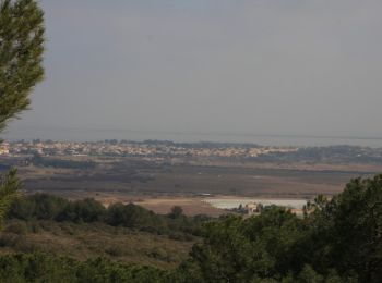
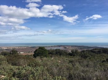
• Une randonnée promenade facile avec vue sur l'étang de Thau et ses parcs à huitres, puis descente douce dans le vallo...
Marche

Marche
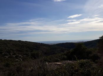
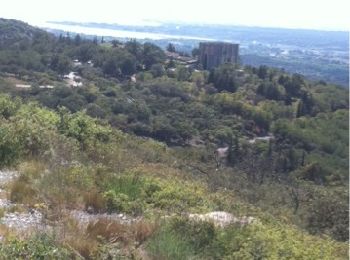
• Balade sur les hauteurs du massifs qui propose de nombreux panoramas sur la côté. A éviter en période de chaleurs .
Marche
• Rando test sac de 10 kg

V.T.T.
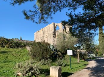
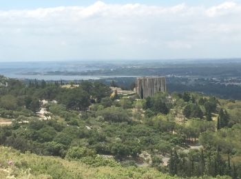
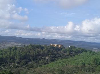
• Accès au départ de Gigean prendre la direction Abbaye Saint Félix de Montceau et se garer au pied. Une très jolie ran...
Marche
• Accès au départ de Gigean prendre la direction Abbaye Saint Félix de Montceau et se garer au pied. Une très jolie ran...

Marche
• Au départ de l'abbaye de Saint Félix de Monceau
Marche

Marche
Marche
Marche
Marche

A pied
• parcours du massif, centre, sud-ouest
Marche
• Moyenne

V.T.T.
• Gigean Cournonteral Gigean
V.T.T.
• Gigean Issanka Gardiole col de la tortue et retour
20 randonnées affichées sur 50
Application GPS de randonnée GRATUITE
 SityTrail
IGN / Instituts géographiques
SityTrail World
Le monde est à vous