


6,5 km | 11,6 km-effort
Puivert : découvrez les meilleures randonnées : 37 pédestres, 3 à vélo ou VTT et 2 parcours équestres. Tous ces circuits, parcours, itinéraires et activités en plein air sont disponibles dans nos applications SityTrail pour smartphones et tablettes.
Marche


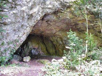
• Petite boucle historique, en totalité sous les arbres.Idéale par grosse chaleur
Cheval
• Circuit proposé par la Communauté de Communes du Chalabrais. Départ du verger du musée 16 rue Barry du lion à Puivert...

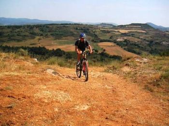
V.T.T.
• Circuit proposé par la Communauté de Communes du Chalabrais. Départ du verger du musée 16 rue Barry du lion à Puivert...

Marche
• Circuit proposé par la Communauté de Communes du Chalabrais. Départ du verger du musée 16 rue Barry du lion à Puivert...
V.T.T.
• 7 Aout 2004 Dernière étape de ce beau trip en pays Cathare. Après le château de Puivert, le GR commence à suivre une ...
Marche
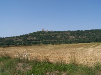
• Étape 4 - 22 km - 700m dénivelé. Cette étape un peu particulière démarre du village de Puivert et monte au pied du Ch...
 16.027
sport

Marche
• Buis abîmé par la pyrale mais en renouveau...
Cyclotourisme
Camping-car
Marche

Marche
• Circuit proposé par la Communauté de Communes du Chalabrais. Départ de l’église du hameau de Lescale, à 5 km au sud d...
Marche
• Circuit proposé par la Communauté de Communes du Chalabrais. Départ de l’église du hameau de Lescale, à 5 km au sud d...
Marche
• randonnée
Marche
• De Puivert à Nébias par le labyrinthe vert
Marche
• Boucle
Marche
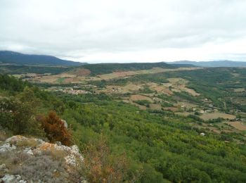
• Montée par les forêts de Lescale et Picaussel. Traversée du plateau de Sault.
Marche
• variée belle
Marche
• Gîte d'Etape la Gineste : 11340 BELVIS Tél 04 68 20 76 31
Marche
• Boucle
20 randonnées affichées sur 45
Application GPS de randonnée GRATUITE
 SityTrail
IGN / Instituts géographiques
SityTrail World
Le monde est à vous