


5 km | 8,6 km-effort
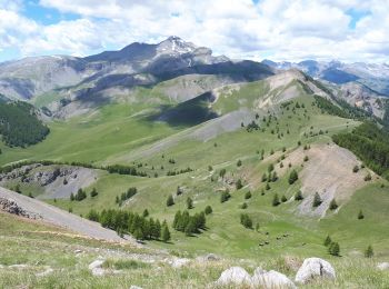
Roubion : découvrez les meilleures randonnées : 47 pédestres et 5 à vélo ou VTT. Tous ces circuits, parcours, itinéraires et activités en plein air sont disponibles dans nos applications SityTrail pour smartphones et tablettes.

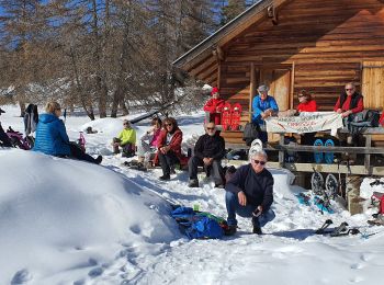
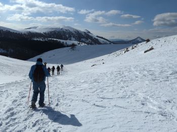
Raquettes à neige


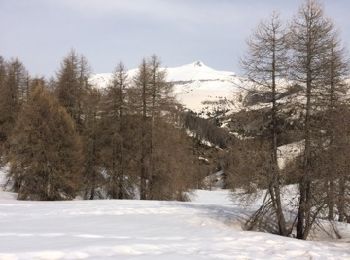
• Petite ballade sympa en raquettes. Superbes vues par beau temps.
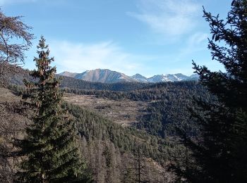
Marche
• Boucle dans les 2 sens, sans difficulté technique, pour randonnée pédestre ou raquettes. R : en Raquettes, préférer m...
Marche
• marche rando
A pied
• Randonnée pédestre - Haut pays : Au départ des gorges de Valabres (710 mètres) Site web: https://randoxygene.departe...
Raquettes à neige
• raquettes
Marche
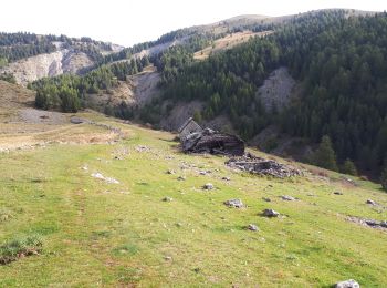
• A/R dans les alpages de Vignols aux portes de Longon. Puis montée au Mt Gravière. Hameau de Vignols aux multiples fle...
Marche
• marche
Marche
• lauvet d illons par les buisses
Marche
• tres belle rando facile
Marche
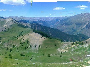
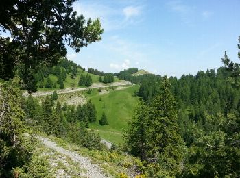
• randonnée sportive, mais vraiment très jolie, bcp de marmottes, et de points de vue à 360*, SUPERBE
Marche
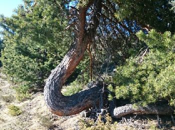
• très diversifié avec sous bois, prairies, alpages
Raquettes à neige
• Tres belle balade
Autre activité
•

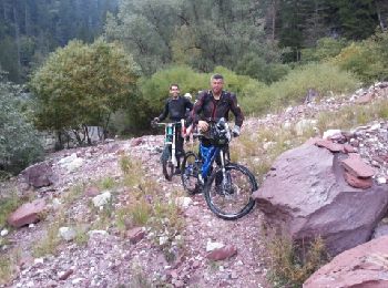
V.T.T.
•

Marche
• Découverte et surprise autour d'une randonnée nature ...

Marche
• découvertes et surprises à travers forêt et village ...
V.T.T.
•
Raquettes à neige
• rando raquettes avec le guide Michel

A pied
• Randonnée créée par Département des Alpes-Maritimes.
Marche
20 randonnées affichées sur 72
Application GPS de randonnée GRATUITE
 SityTrail
IGN / Instituts géographiques
SityTrail World
Le monde est à vous