


5,2 km | 8,6 km-effort
Vence : découvrez les meilleures randonnées : 72 pédestres et 10 à vélo ou VTT. Tous ces circuits, parcours, itinéraires et activités en plein air sont disponibles dans nos applications SityTrail pour smartphones et tablettes.
A pied


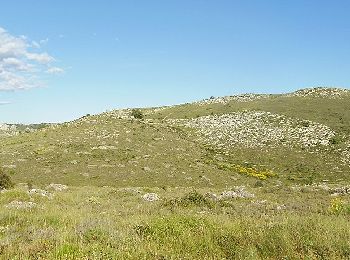
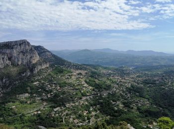
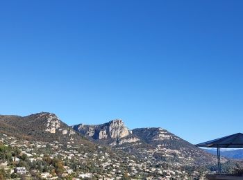
• Randonnée pédestre - Pays côtier : Au départ de la route du col de Vence, parking des Blaquières (570 m) Site web: h...
A pied
• Randonnée pédestre - Pays côtier : Au départ de Vence, château Notre-Dame-des-Fleurs (400 m) Site web: http...
A pied
• Randonnée pédestre - Pays côtier : Au départ de la route du col de Vence, parking du Plan des Noves (780 m) Site web...

Marche
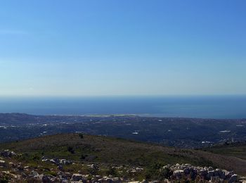
• Boucle avec vue panoramique sur la Côte
Marche
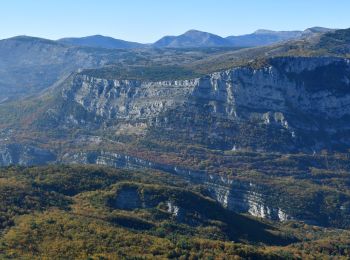
• IBP Rouge 76
Marche
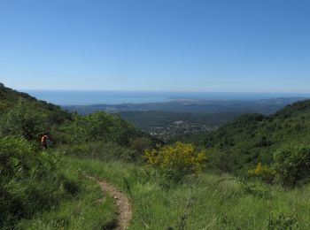
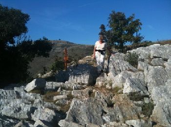
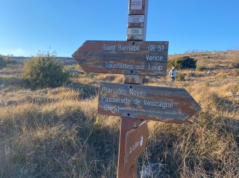
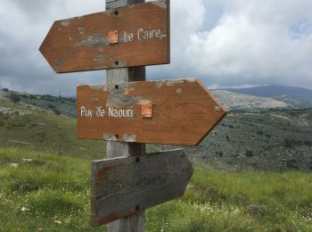
• Dpart du parking du Plan des Noves 780m b.135. Suivre le GR 51 qui conduit parmi les chênes à un vaste plateau fermé ...
Marche
• Départ du parking sous le col de Vence. A partir de la borne 177, cheminement hors-sentier, vers le sommet évident (...

Marche

Autre activité
Marche
• 2010-10-12 - 17h39m02
 19.221
sport
Trail
Marche
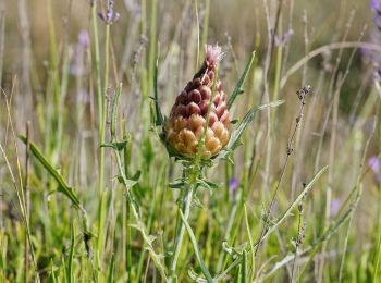
• Balade/marche nordique en sous-bois.
 3.119
3.119
sport
Marche
Marche
Marche
Marche

Marche
Marche
20 randonnées affichées sur 97
Application GPS de randonnée GRATUITE
 SityTrail
IGN / Instituts géographiques
SityTrail World
Le monde est à vous