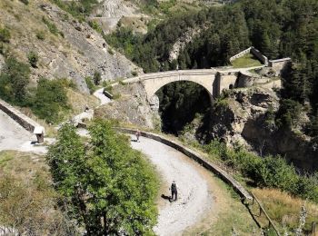
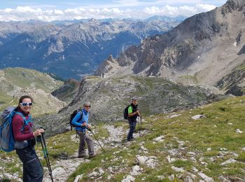
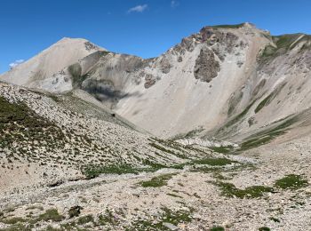
Saint-Martin-de-Queyrières, Hautes-Alpes : Les meilleures randonnées, itinéraires, parcours, balades et promenades

1 commentaires

Saint-Martin-de-Queyrières : découvrez les meilleures randonnées : 17 pédestres, 7 à vélo ou VTT et 1 parcours équestres. Tous ces circuits, parcours, itinéraires et activités en plein air sont disponibles dans nos applications SityTrail pour smartphones et tablettes.


Les meilleurs parcours (27)
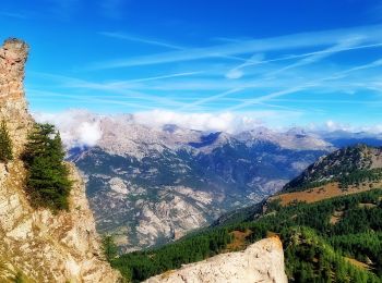
Randonnée Marche Saint-Martin-de-Queyrières - Tête du Puy (Argentière La Bessée) - Photo
Marche 11.313
Km

Marche

Très difficile
Saint-Martin-de-Queyrières, Provence-Alpes-Côte d'Azur, Hautes-Alpes, France
11,3 km | 25 km-effort
6h 11min
1036 m
1024 m
Oui
PapouBertrand

• Superbe rando mais pour faire une montée moins raide réaliser le circuit en sens inverse.
Randonnée Marche Saint-Martin-de-Queyrières - croix Salcette - Photo
Marche 11.081
Km

Marche

Très difficile
Saint-Martin-de-Queyrières, Provence-Alpes-Côte d'Azur, Hautes-Alpes, France
11,1 km | 22 km-effort
3h 45min
840 m
841 m
Oui
MauriceJardret

Randonnée Marche Saint-Martin-de-Queyrières - Antecime Pic de Monbrison  - Photo
Marche 9.053
Km
GUIDE

Marche

Difficile
Saint-Martin-de-Queyrières, Provence-Alpes-Côte d'Azur, Hautes-Alpes, France
9,1 km | 23 km-effort
6h 58min
1028 m
1032 m
Oui
orsel

• 2 juillet

Randonnée Marche Saint-Martin-de-Queyrières - 20190819 - A - Bouchier  - Briançon  - Photo
Marche 12.246
Km

Marche

Facile
Saint-Martin-de-Queyrières, Provence-Alpes-Côte d'Azur, Hautes-Alpes, France
12,2 km | 15,7 km-effort
3h 52min
177 m
504 m
Non
Phil13-Rufus

Randonnée Marche Saint-Martin-de-Queyrières - CR_Domitia_DA_22_St-Martin-Queyrieres_Val-Des-Pres_20180904 - Photo
Marche 13.523
Km

Marche

Difficile
Saint-Martin-de-Queyrières, Provence-Alpes-Côte d'Azur, Hautes-Alpes, France
13,5 km | 19,2 km-effort
4h 13min
482 m
263 m
Non
patrickdanilo

• Type: Gr-653D Parcours: Arles - Montgenèvre Nom: Chemin Rome et Compostelle

Randonnée Vélo Saint-Martin-de-Queyrières - briançon, col du galibier  - Photo
Vélo 42.377
Km

Vélo

Très difficile
Saint-Martin-de-Queyrières, Provence-Alpes-Côte d'Azur, Hautes-Alpes, France
42 km | 59 km-effort
2h 30min
1609 m
125 m
Non
francislassauce

• Départ du camping de l'iscle de prelles
Randonnée V.T.T. Saint-Martin-de-Queyrières - Espace VTT FFC Pays des Ecrins - Circuit n°02 - Chapelle St-Ours - Photo
V.T.T. 6.472
Km

V.T.T.

Moyen
Saint-Martin-de-Queyrières, Provence-Alpes-Côte d'Azur, Hautes-Alpes, France
6,5 km | 9,7 km-effort
40min
244 m
240 m
Oui
tracegps

• Espace VTT FFC Pays des Ecrins Circuit labellisé par la Fédération Française de Cyclisme. Espace VTT FFC Pays des Ecr...
Randonnée V.T.T. Saint-Martin-de-Queyrières - Espace VTT FFC Pays des Ecrins - Circuit n°01 - Le Poux - Photo
V.T.T. 9.073
Km

V.T.T.

Très difficile
Saint-Martin-de-Queyrières, Provence-Alpes-Côte d'Azur, Hautes-Alpes, France
9,1 km | 16,1 km-effort
1h 0min
527 m
526 m
Oui
tracegps

• Espace VTT FFC Pays des Ecrins Circuit officiel labellisé par la Fédération Française de Cyclisme. Circuit n°01 - Le ...

Randonnée Marche Saint-Martin-de-Queyrières - croix de sulcette - Photo
Marche 8.009
Km

Marche

Facile
Saint-Martin-de-Queyrières, Provence-Alpes-Côte d'Azur, Hautes-Alpes, France
8 km | 16,2 km-effort
3h 47min
565 m
765 m
Non
gibello

• départ des bouchier

Randonnée Marche Saint-Martin-de-Queyrières - 2021-08-02 Condamine - Photo
Marche 13.753
Km

Marche

Difficile
Saint-Martin-de-Queyrières, Provence-Alpes-Côte d'Azur, Hautes-Alpes, France
13,8 km | 29 km-effort
7h 40min
1192 m
1006 m
Non
guyverot

Randonnée Marche Saint-Martin-de-Queyrières - Crête de l’Alpavin (05) - Photo
Marche 19.507
Km

Marche

Très difficile
Saint-Martin-de-Queyrières, Provence-Alpes-Côte d'Azur, Hautes-Alpes, France
19,5 km | 40 km-effort
6h 52min
1549 m
1544 m
Oui
djrem971

Randonnée Marche Saint-Martin-de-Queyrières - 20190819 Bouchier Briancon  - Photo
Marche 11.61
Km

Marche

Moyen
Saint-Martin-de-Queyrières, Provence-Alpes-Côte d'Azur, Hautes-Alpes, France
11,6 km | 15,1 km-effort
3h 49min
177 m
503 m
Non
Childebert

Randonnée Marche Saint-Martin-de-Queyrières - 2 - Compostelle/Bouchier - Mont-Dauphin - Photo
Marche 33.061
Km
GUIDE

Marche

Très difficile
Saint-Martin-de-Queyrières, Provence-Alpes-Côte d'Azur, Hautes-Alpes, France
33 km | 48 km-effort
10h 7min
1010 m
1502 m
Non
R@ph

Randonnée Marche Saint-Martin-de-Queyrières - le poux  - Photo
Marche 6.914
Km

Marche

Facile
(1)
Saint-Martin-de-Queyrières, Provence-Alpes-Côte d'Azur, Hautes-Alpes, France
6,9 km | 13,9 km-effort
2h 17min
528 m
527 m
Non
stephaneaznar

• le poux depuis saint martin de queyriere

Randonnée Vélo Saint-Martin-de-Queyrières - briançon, col d'isoard, casse deserte - Photo
Vélo 28.841
Km

Vélo

Très difficile
Saint-Martin-de-Queyrières, Provence-Alpes-Côte d'Azur, Hautes-Alpes, France
29 km | 44 km-effort
1h 49min
1397 m
339 m
Non
francislassauce

• Départ du camping de l'iscle de Prelles

Randonnée Escalade Saint-Martin-de-Queyrières - tenaille de Montbrison  - Photo
Escalade 36.38
Km

Escalade

Difficile
Saint-Martin-de-Queyrières, Provence-Alpes-Côte d'Azur, Hautes-Alpes, France
36 km | 56 km-effort
14h 30min
1458 m
1520 m
Non
jfcontour

Randonnée Marche Saint-Martin-de-Queyrières - 2022-07-25 Cretes de l'Alpavin - Photo
Marche 8.836
Km

Marche

Difficile
Saint-Martin-de-Queyrières, Provence-Alpes-Côte d'Azur, Hautes-Alpes, France
8,8 km | 18,6 km-effort
4h 35min
733 m
724 m
Oui
guyverot

Randonnée Marche Saint-Martin-de-Queyrières - 2022-03-22 Ratiere - Photo
Marche 7.456
Km

Marche

Difficile
Saint-Martin-de-Queyrières, Provence-Alpes-Côte d'Azur, Hautes-Alpes, France
7,5 km | 15,5 km-effort
5h 22min
606 m
606 m
Oui
guyverot

Randonnée V.T.T. Saint-Martin-de-Queyrières - Montee haute Alpes - Photo
V.T.T. 3.718
Km

V.T.T.

Saint-Martin-de-Queyrières, Provence-Alpes-Côte d'Azur, Hautes-Alpes, France
3,7 km | 4,4 km-effort
14min
3 m
195 m
Non
ben

Randonnée V.T.T. Saint-Martin-de-Queyrières - Balade hautes alpes - Photo
V.T.T. 16.533
Km

V.T.T.

Saint-Martin-de-Queyrières, Provence-Alpes-Côte d'Azur, Hautes-Alpes, France
16,5 km | 20 km-effort
1h 27min
260 m
260 m
Oui
ben

20 randonnées affichées sur 27

Application GPS de randonnée GRATUITE

Logo SityTrail SityTrail

IGN / Instituts géographiques

Télécharger SityTrail sur l'App Store Télécharger SityTrail sur Google Play

Logo SityTrail SityTrail World

Le monde est à vous

Télécharger SityTrail sur l'App Store Télécharger SityTrail sur Google Play Télécharger SityTrail sur Huawei AppGallery

Activités

Fermer
Mes abonnements