


17,2 km | 28 km-effort
Puy-Saint-Pierre : découvrez les meilleures randonnées : 21 pédestres et 1 à vélo ou VTT. Tous ces circuits, parcours, itinéraires et activités en plein air sont disponibles dans nos applications SityTrail pour smartphones et tablettes.
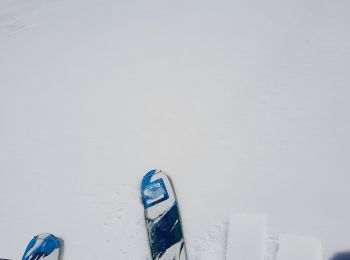
Ski de randonnée


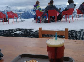
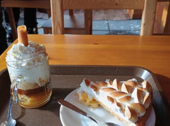
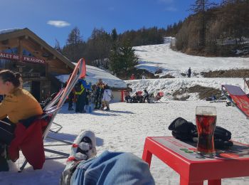
• après l'effort le réconfort
Ski de randonnée
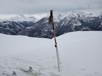
Ski de randonnée
Ski de randonnée
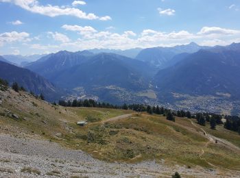
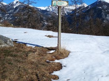
Marche
Marche
• tour des puys
Ski de randonnée
Ski de randonnée
Ski de randonnée
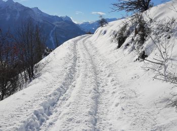
• parking à l'église de Puy-Saint-Pierre. quelques centaines de mètres de marche jusqu'au chemin menant à pra-long, pui...

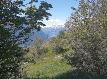
Marche
• pied du prorel
Marche
• prorel
Marche
• bis
Marche
• n+1
Marche
• prorel nième
Marche
• petit tour à pied le long du prorel
Marche
Ski de randonnée
Ski de randonnée

A pied
• Rando qui démarre du haut de la télécabine du Prorel Sommet: 1.2km et 183D+
Marche
• La chapelle Notre-Dame des Neiges trône fierement sur les hauteurs de Puy-Saint-Pierre et du Prorel à 2292m d'altitud...
20 randonnées affichées sur 34
Application GPS de randonnée GRATUITE
 SityTrail
IGN / Instituts géographiques
SityTrail World
Le monde est à vous