


7,4 km | 13,4 km-effort
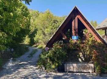
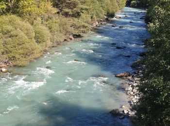
Puy-Saint-André : découvrez les meilleures randonnées : 25 pédestres et 1 à vélo ou VTT. Tous ces circuits, parcours, itinéraires et activités en plein air sont disponibles dans nos applications SityTrail pour smartphones et tablettes.
Trail


• Via Puy-St-André (Hautes-Alpes)
Course à pied
• Retour par GR 653D
Marche
• un départ en sous-bois presque jusqu'au col de la trancoulette. Ensuite le sentier traverse des alpages jusqu'au peyr...
Marche

Course à pied
• Retour par GR
Marche

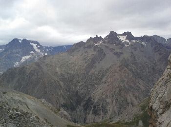
Ski de randonnée
• Tête des Lauzières montée Col de Vallouise descente couloir E NE ski 3.3 Alexandre 20/02/2024

Marche
Marche
Marche
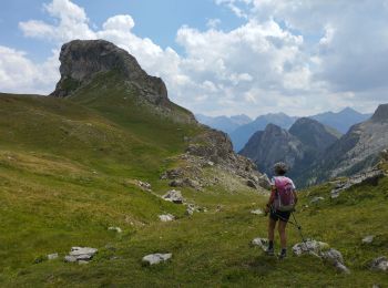
• Très belle randonnée col de trancoulette col de vallouise
Marche
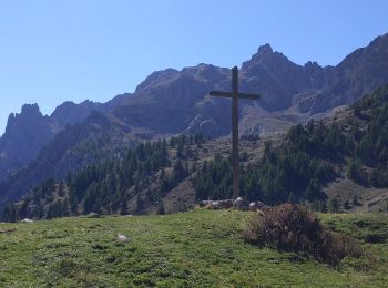
• Départ Puy Chalvin / lac Partias/col Trancoulette / croix d’AQuila en boucle
Marche
• Localité de départVillar-Saint-Pancrace Localité d'arrivéeVillar-Saint-Pancrace 12.366km Altitude min.1738m Altitude...
Marche
Marche
Marche

 12.817
sport
Marche
Marche
Marche
Marche
20 randonnées affichées sur 29
Application GPS de randonnée GRATUITE
 SityTrail
IGN / Instituts géographiques
SityTrail World
Le monde est à vous